Saundatti night lights from space
Night Light of Saundatti (Karnataka) from space (India) Src. Average luminocity for 10x10km area is 18.8571% and for 50x50km: 3.6489%.
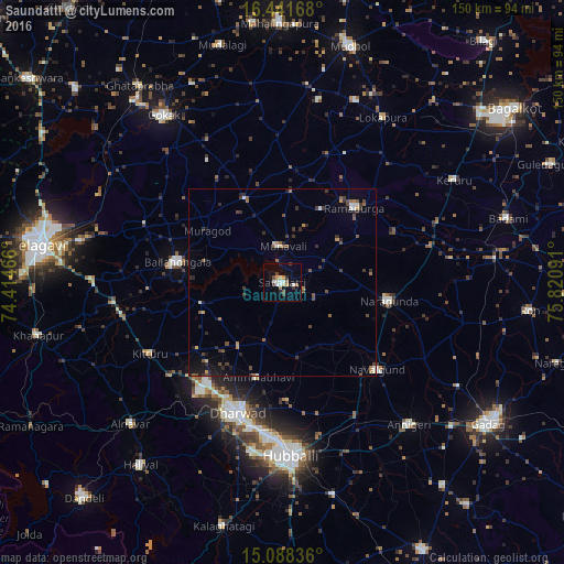
Analysis of Saundatti night lights 2016
Square area 10x10 km:
 2.81%
2.81%90-99
3.25%80-89
1.73%70-79
2.6%60-69
1.73%50-59
1.52%40-49
2.6%30-39
2.38%20-29
3.25%10-19
6.49%0-9
71.65%Square area 50x50 km:
0.23%90-99
0.38%80-89
0.24%70-79
0.35%60-69
0.48%50-59
0.67%40-49
0.73%30-39
0.9%20-29
1%10-19
1.39%0-9
93.62%Clear (daylight) street map image can be seen on geolist.org.
Map coordinates:
16° 26' 30" North, 74° 24' 52.8" East
15° 45' 58.1" North, 75° 7' 4" East
15° 5' 18.1" North, 75° 49' 15.3" East
Some cities around Saundatti sort by population:
• Hubli
46.6 km =29 mi,  177°
177°
• Gokak
54.7 km =34 mi,  324°
324°
• Bail-Hongal
28.2 km =17.5 mi,  280°
280°
• Nargund
29.2 km =18.1 mi,  99°
99°
• Annigeri
50.8 km =31.6 mi,  138°
138°
• Navalgund
34.1 km =21.2 mi,  132°
132°
• Kerūr
53.5 km =33.2 mi,  58°
58°
• Alnāvar
55.2 km =34.3 mi,  226°
226°
1256983 (p: 40,091)
Sources (retrieved 2019-11-25):
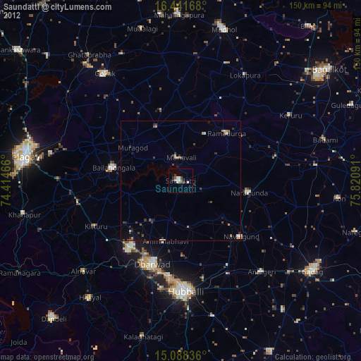
» Earth at Night: Flat Maps 2012, 2016