Navalgund night lights from space
Night Light of Navalgund (Karnataka) from space (India) Src. Average luminocity for 10x10km area is 9.9719% and for 50x50km: 5.0701%.
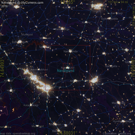
Analysis of Navalgund night lights 2016
Square area 10x10 km:
 1.73%
1.73%90-99
2.38%80-89
0.22%70-79
0.22%60-69
3.25%50-59
0.65%40-49
1.08%30-39
0.87%20-29
1.52%10-19
1.95%0-9
86.15%Square area 50x50 km:
0.83%90-99
0.97%80-89
0.39%70-79
0.08%60-69
0.74%50-59
0.73%40-49
0.83%30-39
0.82%20-29
1.19%10-19
2.44%0-9
90.98%Clear (daylight) street map image can be seen on geolist.org.
Map coordinates:
16° 14' 6" North, 74° 38' 59.7" East
15° 33' 31.6" North, 75° 21' 11" East
14° 52' 49.1" North, 76° 3' 22.2" East
Some cities around Navalgund sort by population:
• Hubli
33.2 km =20.6 mi,  225°
225°
• Gadag-Betageri
32.4 km =20.1 mi,  119°
119°
• Gadag
32.9 km =20.4 mi, 115°
• Saundatti
34.1 km =21.2 mi,  312°
312°
• Nargund
18.6 km =11.6 mi,  11°
11°
• Annigeri
17.2 km =10.7 mi,  149°
149°
• Mulgund
35.8 km =22.2 mi, 149°
• Kundgol
35.5 km =22.1 mi,  198°
198°
1261667 (p: 23,208)
Sources (retrieved 2019-11-25):
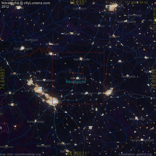
» Earth at Night: Flat Maps 2012, 2016