Satna night lights from space
Night Light of Satna (Madhya Pradesh) from space (India) Src. Average luminocity for 10x10km area is 78.6726% and for 50x50km: 20.1006%.
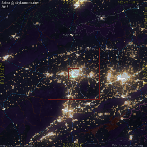
Analysis of Satna night lights 2016
Square area 10x10 km:
 25.4%
25.4%90-99
27.38%80-89
6.75%70-79
5.95%60-69
5.95%50-59
11.11%40-49
9.13%30-39
6.55%20-29
1.79%10-19
0%0-9
0%Square area 50x50 km:
1.87%90-99
2.42%80-89
1.47%70-79
1.66%60-69
2.61%50-59
3.95%40-49
4.78%30-39
5.31%20-29
7.55%10-19
15.06%0-9
53.31%Clear (daylight) street map image can be seen on geolist.org.
Map coordinates:
25° 12' 54.1" North, 80° 7' 26.7" East
24° 34' 38.1" North, 80° 49' 37.9" East
23° 56' 10.4" North, 81° 31' 49.2" East
Some cities around Satna sort by population:
• Rewa
47.3 km =29.4 mi,  96°
96°
• Maihar
35.3 km =21.9 mi,  191°
191°
• Nāgod
24.2 km =15 mi,  267°
267°
• Amarpātan
33 km =20.5 mi,  152°
152°
• Simaria
40.8 km =25.4 mi,  53°
53°
• Kothi
20.1 km =12.5 mi,  345°
345°
• Kotār
20.5 km =12.7 mi, 49°
• Madhogarh
8.6 km =5.3 mi, 99°
1257022 (p: 257,778)
Sources (retrieved 2019-11-25):
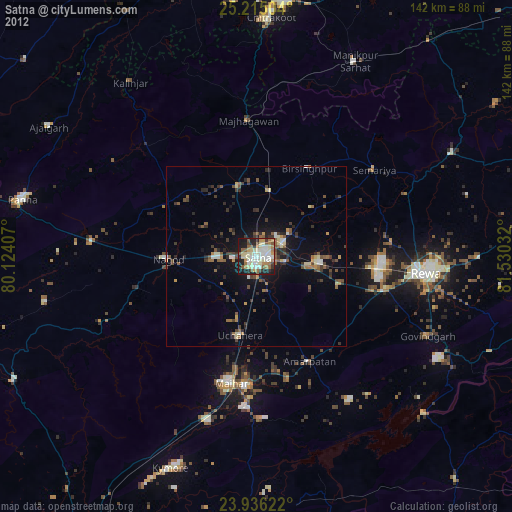
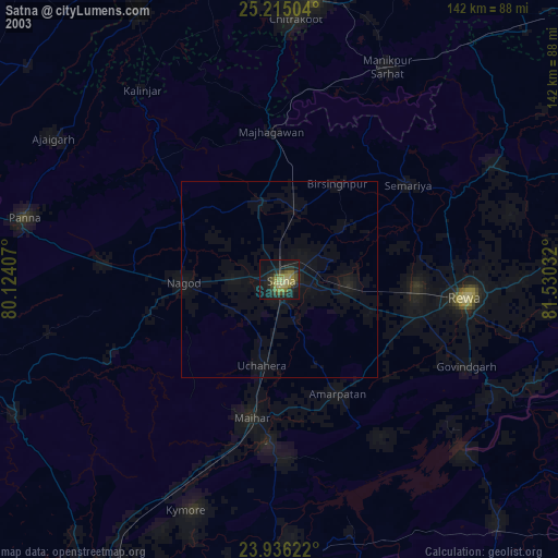
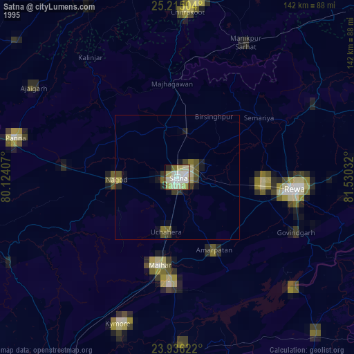
» NASA, Earths city lights 1995
» NASA city lights 2003
» Earth at Night: Flat Maps 2012, 2016