Rewa night lights from space
Night Light of Rewa (Madhya Pradesh) from space (India) Src. Average luminocity for 10x10km area is 84.2063% and for 50x50km: 25.5089%.
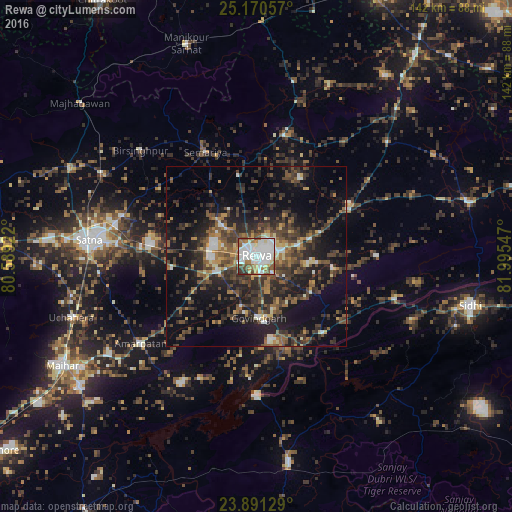
Analysis of Rewa night lights 2016
Square area 10x10 km:
 29.96%
90-99
31.94%80-89
5.16%70-79
5.75%60-69
8.53%50-59
7.94%40-49
7.14%30-39
3.37%20-29
0.2%10-19
0%0-9
0%Square area 50x50 km:
2.28%90-99
2.91%80-89
1.77%70-79
2.22%60-69
3.5%50-59
5.15%40-49
6.73%30-39
7.37%20-29
10.52%10-19
17.18%0-9
40.37%Clear (daylight) street map image can be seen on geolist.org.
Map coordinates:
25° 10' 14.1" North, 80° 35' 21.2" East
24° 31' 57.2" North, 81° 17' 32.4" East
23° 53' 28.6" North, 81° 59' 43.7" East
Some cities around Rewa sort by population:
• Simaria
32.4 km =20.1 mi,  334°
334°
• Gurh
21.3 km =13.2 mi,  98°
98°
• Mangawān
29.8 km =18.5 mi,  59°
59°
• Sirmaur
34.6 km =21.5 mi,  12°
12°
• Govindgarh
17.1 km =10.6 mi,  178°
178°
• Baikunthpur
24.7 km =15.3 mi,  28°
28°
• Kotār
36.5 km =22.7 mi,  300°
300°
• Madhogarh
38.7 km =24 mi,  275°
275°
1258182 (p: 208,461)
Sources (retrieved 2019-11-25):
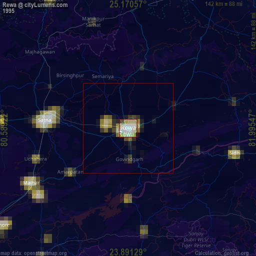
» NASA, Earths city lights 1995
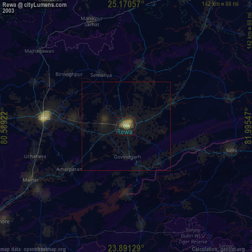
» NASA city lights 2003
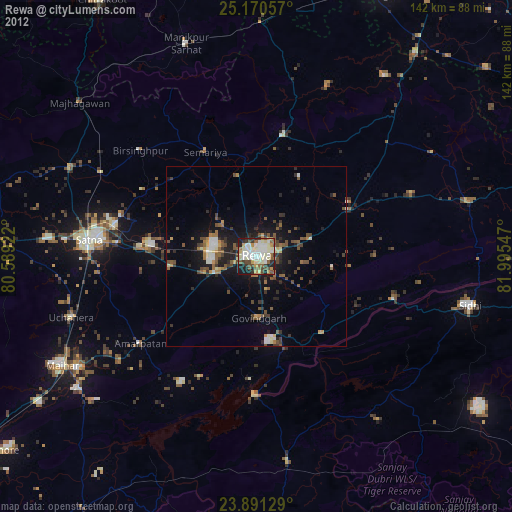
» Earth at Night: Flat Maps 2012, 2016