Sandīla night lights from space
Night Light of Sandīla (Uttar Pradesh) from space (India) Src. Average luminocity for 10x10km area is 19.754% and for 50x50km: 7.499%.
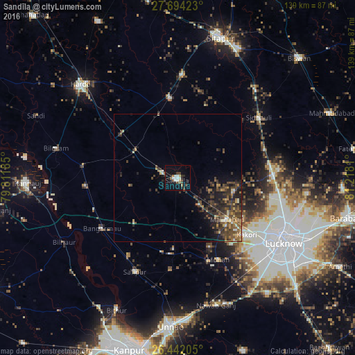
Analysis of Sandīla night lights 2016
Square area 10x10 km:
 3.37%
3.37%90-99
2.98%80-89
0.4%70-79
1.98%60-69
2.58%50-59
0.6%40-49
4.96%30-39
2.18%20-29
5.95%10-19
14.09%0-9
60.91%Square area 50x50 km:
0.36%90-99
0.59%80-89
0.61%70-79
0.93%60-69
1.01%50-59
1.66%40-49
2.28%30-39
2.43%20-29
2.96%10-19
4.15%0-9
83.03%Clear (daylight) street map image can be seen on geolist.org.
Map coordinates:
27° 41' 39.2" North, 79° 48' 42.7" East
27° 4' 11.6" North, 80° 30' 53.9" East
26° 26' 31.4" North, 81° 13' 5.2" East
Some cities around Sandīla sort by population:
• Jagdīshpur
35.7 km =22.2 mi,  175°
175°
• Kākori
35 km =21.7 mi,  129°
129°
• Malīhābād
25.4 km =15.8 mi, 130°
• Mohān
35.9 km =22.3 mi,  153°
153°
• Benīganj
25.8 km =16 mi,  344°
344°
• Ganj Murādābād
35.1 km =21.8 mi,  249°
249°
• Aurās
17.3 km =10.7 mi, 182°
• Ugu
35.9 km =22.3 mi,  212°
212°
1257459 (p: 53,182)
Sources (retrieved 2019-11-25):
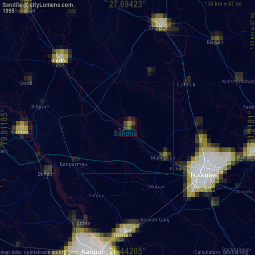
» NASA, Earths city lights 1995
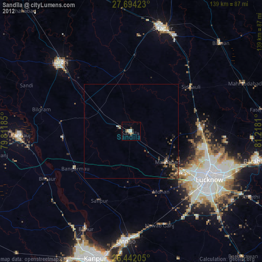
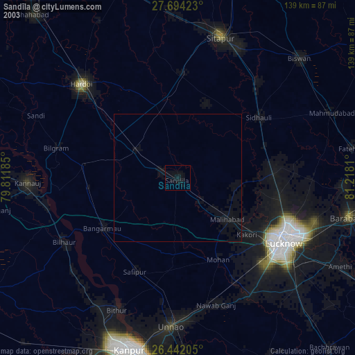
» NASA city lights 2003
» Earth at Night: Flat Maps 2012, 2016