Sabalgarh night lights from space
Night Light of Sabalgarh (Madhya Pradesh) from space (India) Src. Average luminocity for 10x10km area is 17.998% and for 50x50km: 3.2727%.
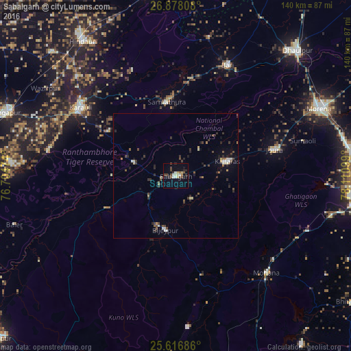
Analysis of Sabalgarh night lights 2016
Square area 10x10 km:
 1.98%
1.98%90-99
2.18%80-89
3.17%70-79
0.79%60-69
1.39%50-59
2.18%40-49
5.36%30-39
2.78%20-29
1.98%10-19
5.95%0-9
72.22%Square area 50x50 km:
0.28%90-99
0.36%80-89
0.37%70-79
0.16%60-69
0.28%50-59
0.49%40-49
0.79%30-39
0.85%20-29
0.87%10-19
1.21%0-9
94.35%Clear (daylight) street map image can be seen on geolist.org.
Map coordinates:
26° 52' 41.1" North, 76° 42' 17.1" East
26° 14' 57" North, 77° 24' 28.3" East
25° 37' 0.7" North, 78° 6' 39.6" East
Some cities around Sabalgarh sort by population:
• Morena
64.8 km =40.3 mi,  64°
64°
• Dhaulpur
68.1 km =42.3 mi,  43°
43°
• Hindaun
65.4 km =40.6 mi,  325°
325°
• Karauli
46.9 km =29.1 mi,  306°
306°
• Bāri
48.8 km =30.3 mi,  25°
25°
• Jora
41.3 km =25.7 mi,  75°
75°
• Kailāras
21.7 km =13.5 mi,  73°
73°
• Jagnair
71 km =44.1 mi,  15°
15°
1257928 (p: 31,032)
Sources (retrieved 2019-11-25):
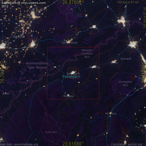
» Earth at Night: Flat Maps 2012, 2016