Rīngas night lights from space
Night Light of Rīngas (Rajasthan) from space (India) Src. Average luminocity for 10x10km area is 25.7652% and for 50x50km: 14.685%.
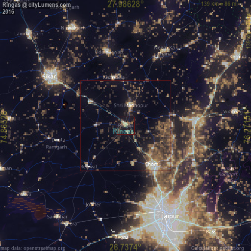
Analysis of Rīngas night lights 2016
Square area 10x10 km:
 0%
0%90-99
1.52%80-89
6.25%70-79
1.14%60-69
3.41%50-59
1.52%40-49
8.33%30-39
8.52%20-29
7.95%10-19
43.37%0-9
17.99%Square area 50x50 km:
0.49%90-99
1.19%80-89
1.23%70-79
1.04%60-69
2.05%50-59
3.71%40-49
4.76%30-39
5.12%20-29
5.02%10-19
9.23%0-9
66.17%Clear (daylight) street map image can be seen on geolist.org.
Map coordinates:
27° 59' 10.6" North, 74° 51' 54.9" East
27° 21' 49" North, 75° 34' 6.2" East
26° 44' 14.6" North, 76° 16' 17.4" East
Some cities around Rīngas sort by population:
• Shāhpura
38.7 km =24 mi,  85°
85°
• Neem ka Thana
47 km =29.2 mi,  27°
27°
• Sri Mādhopur
11.7 km =7.3 mi,  14°
14°
• Udaipur
41.1 km =25.5 mi,  346°
346°
• Rāmgarh
40.5 km =25.2 mi,  251°
251°
• Manoharpur
38.4 km =23.9 mi,  101°
101°
• Khandela
27.6 km =17.1 mi, 346°
• Jobner
47 km =29.2 mi,  202°
202°
1258140 (p: 25,171)
Sources (retrieved 2019-11-25):
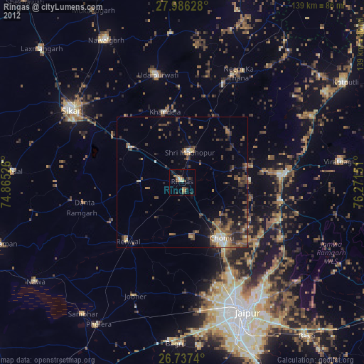
» Earth at Night: Flat Maps 2012, 2016