Khandela night lights from space
Night Light of Khandela (Rajasthan) from space (India) Src. Average luminocity for 10x10km area is 18.4683% and for 50x50km: 9.5104%.
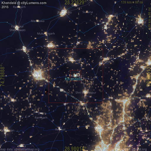
Analysis of Khandela night lights 2016
Square area 10x10 km:
 0.99%
0.99%90-99
2.18%80-89
1.59%70-79
1.79%60-69
0.79%50-59
2.58%40-49
5.56%30-39
4.96%20-29
5.16%10-19
10.52%0-9
63.89%Square area 50x50 km:
0.25%90-99
0.52%80-89
0.45%70-79
0.47%60-69
0.8%50-59
1.23%40-49
2.87%30-39
4.03%20-29
4.19%10-19
7.91%0-9
77.28%Clear (daylight) street map image can be seen on geolist.org.
Map coordinates:
28° 13' 34.6" North, 74° 47' 56" East
27° 36' 18" North, 75° 30' 7.2" East
26° 58' 48.5" North, 76° 12' 18.5" East
Some cities around Khandela sort by population:
• Sīkar
35.7 km =22.2 mi,  271°
271°
• Nawalgarh
35.4 km =22 mi,  320°
320°
• Shāhpura
51 km =31.7 mi,  117°
117°
• Neem ka Thana
31.8 km =19.8 mi,  61°
61°
• Sri Mādhopur
18.1 km =11.2 mi,  148°
148°
• Udaipur
13.5 km =8.4 mi,  347°
347°
• Rāmgarh
50.7 km =31.5 mi,  219°
219°
• Rīngas
27.6 km =17.1 mi,  166°
166°
1267044 (p: 23,164)
Sources (retrieved 2019-11-25):
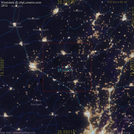
» Earth at Night: Flat Maps 2012, 2016