Udaipur night lights from space
Night Light of Udaipur (Rajasthan) from space (India) Src. Average luminocity for 10x10km area is 24.4563% and for 50x50km: 10.7266%.
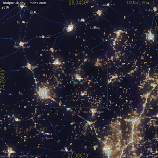
Analysis of Udaipur night lights 2016
Square area 10x10 km:
 2.78%
2.78%90-99
3.37%80-89
2.78%70-79
1.98%60-69
4.17%50-59
2.98%40-49
4.76%30-39
2.78%20-29
4.37%10-19
28.37%0-9
41.67%Square area 50x50 km:
0.25%90-99
0.64%80-89
0.44%70-79
0.56%60-69
0.97%50-59
1.96%40-49
3.03%30-39
4.12%20-29
4.88%10-19
9.06%0-9
74.09%Clear (daylight) street map image can be seen on geolist.org.
Map coordinates:
28° 20' 37" North, 74° 46' 7.2" East
27° 43' 22.7" North, 75° 28' 18.4" East
27° 5' 55.6" North, 76° 10' 29.7" East
Some cities around Udaipur sort by population:
• Sīkar
34.9 km =21.7 mi,  249°
249°
• Nawalgarh
24.2 km =15 mi,  306°
306°
• Lachhmangarh Sīkar
45.1 km =28 mi,  284°
284°
• Neem ka Thana
31 km =19.3 mi,  86°
86°
• Sri Mādhopur
31.1 km =19.3 mi,  156°
156°
• Rīngas
41.1 km =25.5 mi,  166°
166°
• Khandela
13.5 km =8.4 mi, 167°
• Khetri
43.7 km =27.2 mi,  45°
45°
1253985 (p: 30,264)
Sources (retrieved 2019-11-25):
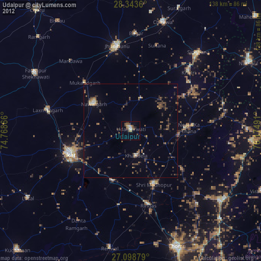
» Earth at Night: Flat Maps 2012, 2016