Rāmganj Mandi night lights from space
Night Light of Rāmganj Mandi (Rajasthan) from space (India) Src. Average luminocity for 10x10km area is 49.7202% and for 50x50km: 18.5155%.
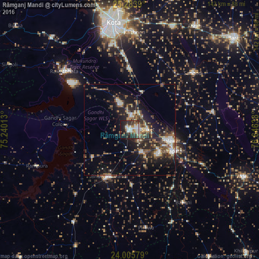
Analysis of Rāmganj Mandi night lights 2016
Square area 10x10 km:
 9.13%
9.13%90-99
14.68%80-89
4.96%70-79
2.98%60-69
2.78%50-59
6.15%40-49
5.95%30-39
16.67%20-29
14.48%10-19
20.04%0-9
2.18%Square area 50x50 km:
1.62%90-99
3.19%80-89
1.53%70-79
1.97%60-69
1.9%50-59
3.35%40-49
3.94%30-39
4.25%20-29
7.01%10-19
11.34%0-9
59.9%Clear (daylight) street map image can be seen on geolist.org.
Map coordinates:
25° 17' 2" North, 75° 14' 24.5" East
24° 38' 47.3" North, 75° 56' 35.7" East
24° 0' 20.8" North, 76° 38' 47" East
Some cities around Rāmganj Mandi sort by population:
• Jhālāwār
23.1 km =14.4 mi,  103°
103°
• Bhawāniganj
27.9 km =17.3 mi,  203°
203°
• Jhālrapātan
25.9 km =16.1 mi,  116°
116°
• Suket
9.9 km =6.2 mi,  90°
90°
• Bhānpura
24.8 km =15.4 mi,  233°
233°
• Sunel
30.7 km =19.1 mi,  177°
177°
• Chechat
14.7 km =9.1 mi,  335°
335°
• Udpura
10.2 km =6.3 mi,  18°
18°
1258692 (p: 35,754)
Sources (retrieved 2019-11-25):
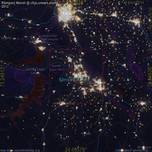
» Earth at Night: Flat Maps 2012, 2016