Ratangarh night lights from space
Night Light of Ratangarh (Rajasthan) from space (India) Src. Average luminocity for 10x10km area is 15.6572% and for 50x50km: 0.8616%.
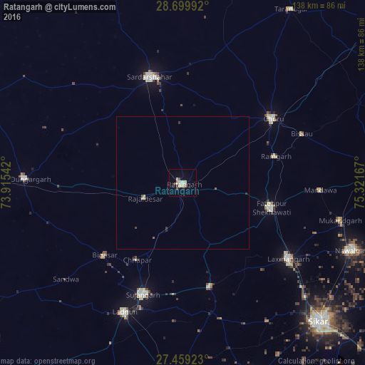
Analysis of Ratangarh night lights 2016
Square area 10x10 km:
 1.89%
1.89%90-99
3.41%80-89
4.55%70-79
0.38%60-69
0.38%50-59
2.08%40-49
1.52%30-39
0.38%20-29
0.57%10-19
3.6%0-9
81.25%Square area 50x50 km:
0.08%90-99
0.14%80-89
0.27%70-79
0.02%60-69
0.02%50-59
0.14%40-49
0.11%30-39
0.1%20-29
0.07%10-19
0.17%0-9
98.89%Clear (daylight) street map image can be seen on geolist.org.
Map coordinates:
28° 41' 59.7" North, 73° 54' 55.5" East
28° 4' 52.9" North, 74° 37' 6.7" East
27° 27' 33.2" North, 75° 19' 18" East
Some cities around Ratangarh sort by population:
• Sūjāngarh
45 km =28 mi,  199°
199°
• Chūru
42.2 km =26.2 mi,  54°
54°
• Sardārshahr
41.9 km =26 mi,  342°
342°
• Fatehpur
34.5 km =21.4 mi,  106°
106°
• Bhādāsar
41.4 km =25.7 mi,  308°
308°
• Rājaldesar
15.3 km =9.5 mi,  247°
247°
• Chhāpar
34.1 km =21.2 mi,  211°
211°
• Bhuma
45.3 km =28.1 mi,  136°
136°
1258366 (p: 66,625)
Sources (retrieved 2019-11-25):
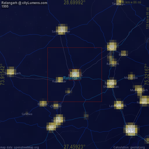
» NASA, Earths city lights 1995
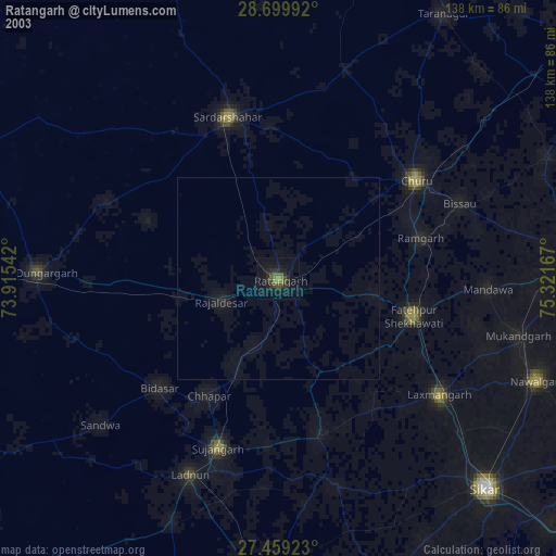
» NASA city lights 2003
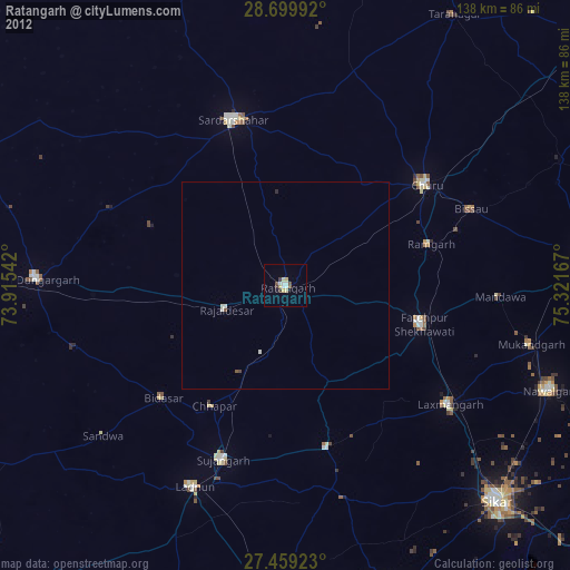
» Earth at Night: Flat Maps 2012, 2016