Rājaldesar night lights from space
Night Light of Rājaldesar (Rajasthan) from space (India) Src. Average luminocity for 10x10km area is 2.7386% and for 50x50km: 1.0921%.
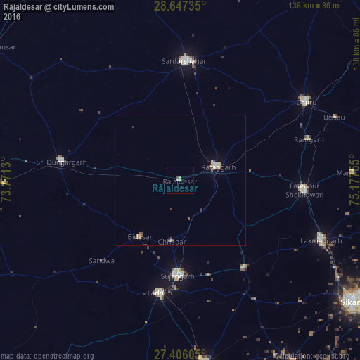
Analysis of Rājaldesar night lights 2016
Square area 10x10 km:
 0%
0%90-99
0%80-89
2.27%70-79
0%60-69
0%50-59
0%40-49
0.76%30-39
0%20-29
0%10-19
0.57%0-9
96.4%Square area 50x50 km:
0.08%90-99
0.17%80-89
0.3%70-79
0.06%60-69
0.06%50-59
0.17%40-49
0.21%30-39
0.12%20-29
0.09%10-19
0.22%0-9
98.51%Clear (daylight) street map image can be seen on geolist.org.
Map coordinates:
28° 38' 50.5" North, 73° 46' 16.7" East
28° 1' 42.6" North, 74° 28' 27.9" East
27° 24' 21.8" North, 75° 10' 39.2" East
Some cities around Rājaldesar sort by population:
• Sūjāngarh
36.5 km =22.7 mi,  181°
181°
• Sardārshahr
45.9 km =28.5 mi,  2°
2°
• Fatehpur
47.4 km =29.5 mi,  94°
94°
• Ratangarh
15.3 km =9.5 mi,  67°
67°
• Lādnūn
42.4 km =26.3 mi,  189°
189°
• Sri Dūngargarh
46.3 km =28.8 mi,  279°
279°
• Bhādāsar
36.6 km =22.7 mi,  330°
330°
• Chhāpar
23.5 km =14.6 mi, 188°
1258928 (p: 24,104)
Sources (retrieved 2019-11-25):
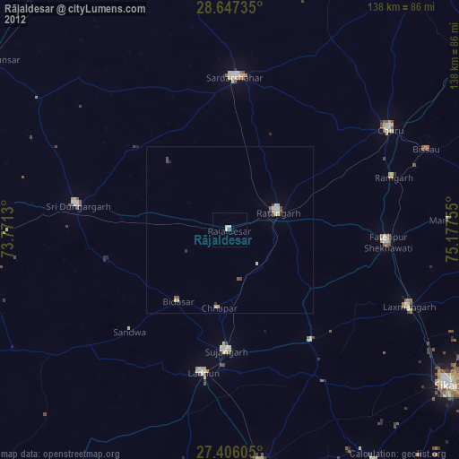
» Earth at Night: Flat Maps 2012, 2016