Bhādāsar night lights from space
Night Light of Bhādāsar (Rajasthan) from space (India) Src. Average luminocity for 10x10km area is 0% and for 50x50km: 1.1387%.
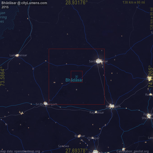
Analysis of Bhādāsar night lights 2016
Square area 10x10 km:
 0%
0%90-99
0%80-89
0%70-79
0%60-69
0%50-59
0%40-49
0%30-39
0%20-29
0%10-19
0%0-9
100%Square area 50x50 km:
0.15%90-99
0.33%80-89
0.1%70-79
0.04%60-69
0.06%50-59
0.08%40-49
0.17%30-39
0.21%20-29
0.08%10-19
0.96%0-9
97.83%Clear (daylight) street map image can be seen on geolist.org.
Map coordinates:
28° 55' 54.3" North, 73° 35' 11" East
28° 18' 52.5" North, 74° 17' 22.3" East
27° 41' 37.6" North, 74° 59' 33.5" East
Some cities around Bhādāsar sort by population:
• Sūjāngarh
70.5 km =43.8 mi,  165°
165°
• Chūru
66.3 km =41.2 mi,  91°
91°
• Sardārshahr
24.2 km =15 mi,  54°
54°
• Ratangarh
41.4 km =25.7 mi,  128°
128°
• Lādnūn
74.3 km =46.2 mi, 171°
• Sri Dūngargarh
36.7 km =22.8 mi,  228°
228°
• Rājaldesar
36.6 km =22.7 mi,  150°
150°
• Chhāpar
57 km =35.4 mi, 165°
1276355 (p: 33,006)
Sources (retrieved 2019-11-25):
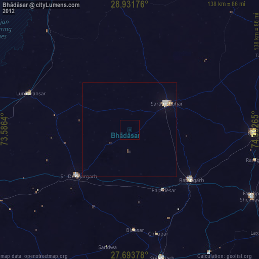
» Earth at Night: Flat Maps 2012, 2016