Sardārshahr night lights from space
Night Light of Sardārshahr (Rajasthan) from space (India) Src. Average luminocity for 10x10km area is 24.8532% and for 50x50km: 1.128%.
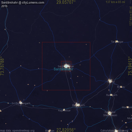
Analysis of Sardārshahr night lights 2016
Square area 10x10 km:
 3.77%
3.77%90-99
8.53%80-89
2.58%70-79
0.99%60-69
1.59%50-59
1.98%40-49
1.19%30-39
3.97%20-29
0.2%10-19
24.21%0-9
50.99%Square area 50x50 km:
0.14%90-99
0.32%80-89
0.1%70-79
0.04%60-69
0.06%50-59
0.08%40-49
0.11%30-39
0.27%20-29
0.04%10-19
0.98%0-9
97.87%Clear (daylight) street map image can be seen on geolist.org.
Map coordinates:
29° 3' 25.5" North, 73° 47' 16.4" East
28° 26' 26.2" North, 74° 29' 27.6" East
27° 49' 14" North, 75° 11' 38.9" East
Some cities around Sardārshahr sort by population:
• Chūru
49 km =30.4 mi,  108°
108°
• Fatehpur
67.3 km =41.8 mi,  137°
137°
• Ratangarh
41.9 km =26 mi,  162°
162°
• Sri Dūngargarh
60.8 km =37.8 mi,  230°
230°
• Bhādāsar
24.2 km =15 mi, 234°
• Tārānagar
58.6 km =36.4 mi,  64°
64°
• Rājaldesar
45.9 km =28.5 mi,  182°
182°
• Bissāu
61.2 km =38 mi, 110°
1257198 (p: 86,672)
Sources (retrieved 2019-11-25):
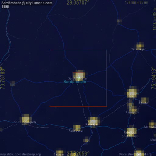
» NASA, Earths city lights 1995
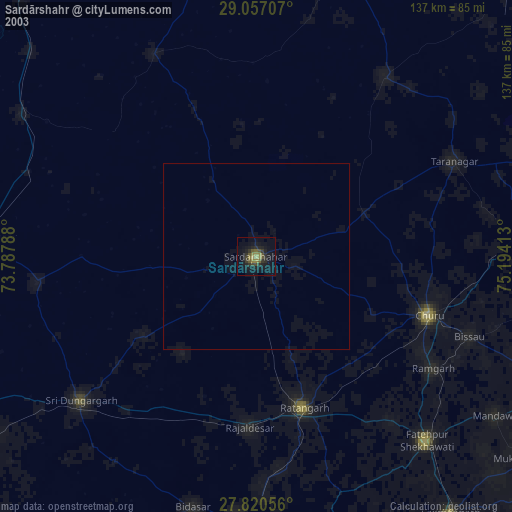
» NASA city lights 2003
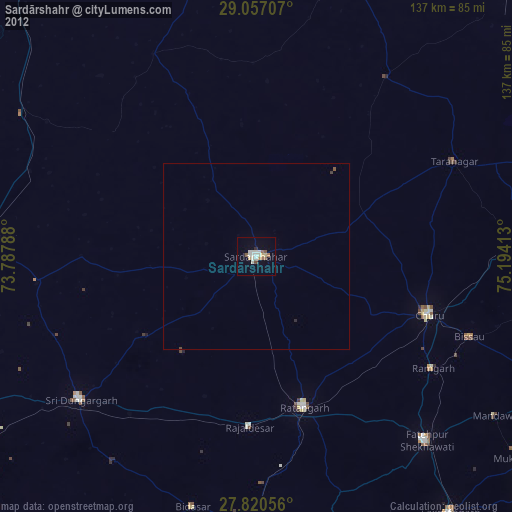
» Earth at Night: Flat Maps 2012, 2016