Sūjāngarh night lights from space
Night Light of Sūjāngarh (Rajasthan) from space (India) Src. Average luminocity for 10x10km area is 23.6865% and for 50x50km: 2.4324%.
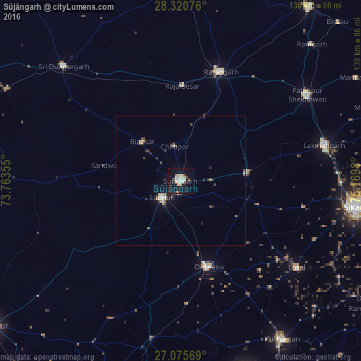
Analysis of Sūjāngarh night lights 2016
Square area 10x10 km:
 2.18%
2.18%90-99
6.15%80-89
5.16%70-79
1.59%60-69
0.79%50-59
2.38%40-49
2.98%30-39
0.2%20-29
0.4%10-19
35.71%0-9
42.46%Square area 50x50 km:
0.15%90-99
0.47%80-89
0.39%70-79
0.22%60-69
0.14%50-59
0.28%40-49
0.51%30-39
0.33%20-29
0.28%10-19
2.05%0-9
95.2%Clear (daylight) street map image can be seen on geolist.org.
Map coordinates:
28° 19' 14.7" North, 73° 45' 48.8" East
27° 42' 0" North, 74° 28' 0" East
27° 4' 32.5" North, 75° 10' 11.3" East
Some cities around Sūjāngarh sort by population:
• Ratangarh
45 km =28 mi,  19°
19°
• Lādnūn
8.4 km =5.2 mi,  231°
231°
• Dīdwāna
34.9 km =21.7 mi,  162°
162°
• Losal
55.5 km =34.5 mi,  126°
126°
• Rājaldesar
36.5 km =22.7 mi,  1°
1°
• Chhāpar
13.5 km =8.4 mi,  348°
348°
• Meethari Marwar
25.7 km =16 mi,  122°
122°
• Bhuma
46.8 km =29.1 mi,  78°
78°
1255560 (p: 183,808)
Sources (retrieved 2019-11-25):
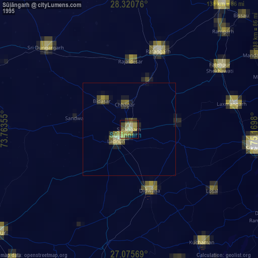
» NASA, Earths city lights 1995
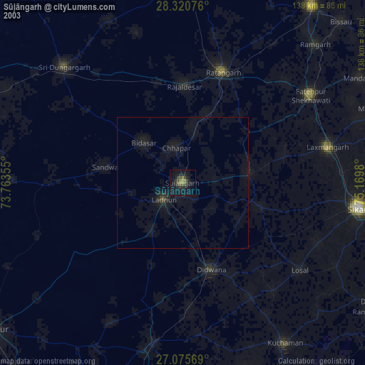
» NASA city lights 2003
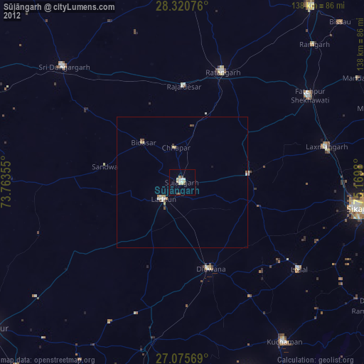
» Earth at Night: Flat Maps 2012, 2016