Rameswaram night lights from space
Night Light of Rameswaram (Tamil Nadu) from space (India) Src. Average luminocity for 10x10km area is 13.3961% and for 50x50km: 0.941%.
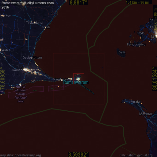
Analysis of Rameswaram night lights 2016
Square area 10x10 km:
 0.87%
0.87%90-99
3.46%80-89
2.6%70-79
0.87%60-69
0.65%50-59
1.08%40-49
0.22%30-39
4.98%20-29
1.52%10-19
1.52%0-9
82.25%Square area 50x50 km:
0.04%90-99
0.26%80-89
0.14%70-79
0.14%60-69
0.06%50-59
0.08%40-49
0.03%30-39
0.21%20-29
0.2%10-19
0.06%0-9
98.79%Clear (daylight) street map image can be seen on geolist.org.
Map coordinates:
9° 58' 54.1" North, 78° 36' 34.5" East
9° 17' 18.6" North, 79° 18' 45.8" East
8° 35' 38.1" North, 80° 0' 57" East
Some cities around Rameswaram sort by population:
• Paramagudi
84.2 km =52.3 mi,  289°
289°
• Ramanathapuram
53.7 km =33.4 mi,  279°
279°
• Keelakarai
58.2 km =36.2 mi,  263°
263°
• Tondi
59.9 km =37.2 mi,  327°
327°
• Mandapam
20.8 km =12.9 mi,  266°
266°
• Periyapattinam
45.1 km =28 mi, 267°
• Tiruppālaikudi
52 km =32.3 mi,  303°
303°
• Nambutalai
59.2 km =36.8 mi, 325°
1258698 (p: 39,960)
Sources (retrieved 2019-11-25):
» Earth at Night: Flat Maps 2012, 2016