Nambutalai night lights from space
Night Light of Nambutalai (Tamil Nadu) from space (India) Src. Average luminocity for 10x10km area is 1.3853% and for 50x50km: 0.4817%.
Analysis of Nambutalai night lights 2016
Square area 10x10 km:
 0%
0%90-99
0%80-89
0%70-79
0.43%60-69
0.43%50-59
0.65%40-49
0.22%30-39
0%20-29
0.65%10-19
1.08%0-9
96.54%Square area 50x50 km:
0%90-99
0.01%80-89
0.06%70-79
0.14%60-69
0.09%50-59
0.13%40-49
0.11%30-39
0.06%20-29
0.16%10-19
0.18%0-9
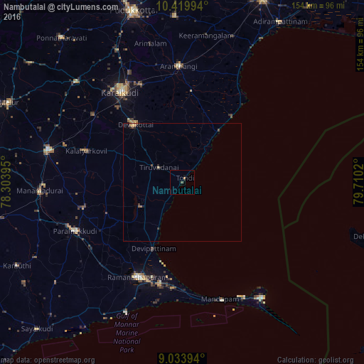
99.07%Clear (daylight) street map image can be seen on geolist.org.
Map coordinates:
10° 25' 11.8" North, 78° 18' 14.2" East
9° 43' 39.6" North, 79° 0' 25.5" East
9° 2' 2.2" North, 79° 42' 36.7" East
Some cities around Nambutalai sort by population:
• Kāraikkudi
45.9 km =28.5 mi,  325°
325°
• Ramanathapuram
44.1 km =27.4 mi,  206°
206°
• Devakottai
31.6 km =19.6 mi,  320°
320°
• Arantāngi
49.5 km =30.8 mi,  357°
357°
• Tondi
2 km =1.2 mi,  36°
36°
• Kottaiyūr
48.4 km =30.1 mi, 331°
• Mangalam
40.4 km =25.1 mi,  275°
275°
• Tiruppālaikudi
22.5 km =14 mi, 206°
1262032 (p: 7,914)
Sources (retrieved 2019-11-25):
» Earth at Night: Flat Maps 2012, 2016