Mandapam night lights from space
Night Light of Mandapam (Tamil Nadu) from space (India) Src. Average luminocity for 10x10km area is 3.0043% and for 50x50km: 1.7611%.
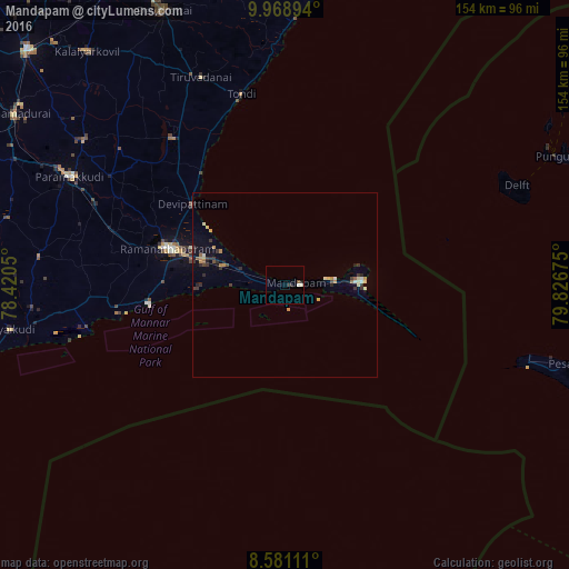
Analysis of Mandapam night lights 2016
Square area 10x10 km:
 0%
0%90-99
1.73%80-89
0%70-79
0%60-69
0%50-59
0.87%40-49
0%30-39
0%20-29
2.6%10-19
0%0-9
94.81%Square area 50x50 km:
0.06%90-99
0.29%80-89
0.2%70-79
0.26%60-69
0.21%50-59
0.16%40-49
0.16%30-39
0.52%20-29
0.5%10-19
0.44%0-9
97.19%Clear (daylight) street map image can be seen on geolist.org.
Map coordinates:
9° 58' 8.2" North, 78° 25' 13.8" East
9° 16' 32.6" North, 79° 7' 25" East
8° 34' 52" North, 79° 49' 36.3" East
Some cities around Mandapam sort by population:
• Paramagudi
65.7 km =40.8 mi,  297°
297°
• Ramanathapuram
33.9 km =21.1 mi,  288°
288°
• Rameswaram
20.8 km =12.9 mi,  86°
86°
• Keelakarai
37.4 km =23.2 mi,  262°
262°
• Tondi
53.1 km =33 mi,  347°
347°
• Periyapattinam
24.3 km =15.1 mi,  269°
269°
• Tiruppālaikudi
37.6 km =23.4 mi,  323°
323°
• Nambutalai
51.9 km =32.2 mi, 345°
1263900 (p: 15,073)
Sources (retrieved 2019-11-25):
» Earth at Night: Flat Maps 2012, 2016