Ramanathapuram night lights from space
Night Light of Ramanathapuram (Tamil Nadu) from space (India) Src. Average luminocity for 10x10km area is 20.4394% and for 50x50km: 2.3557%.
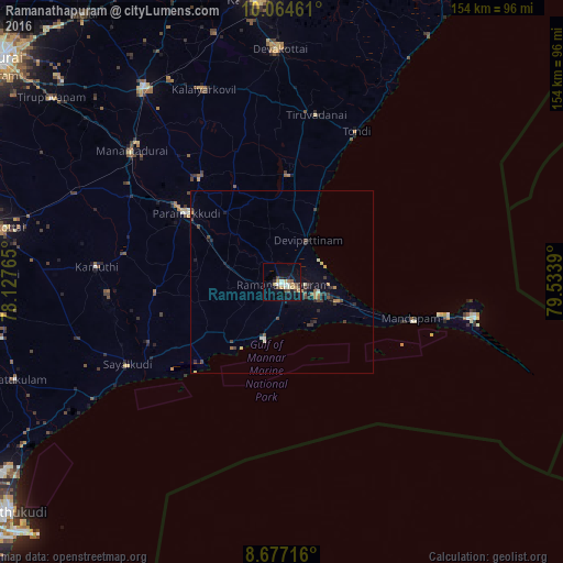
Analysis of Ramanathapuram night lights 2016
Square area 10x10 km:
 2.38%
2.38%90-99
3.68%80-89
1.95%70-79
4.98%60-69
0.65%50-59
2.81%40-49
3.46%30-39
1.73%20-29
2.38%10-19
14.29%0-9
61.69%Square area 50x50 km:
0.16%90-99
0.22%80-89
0.23%70-79
0.35%60-69
0.25%50-59
0.27%40-49
0.54%30-39
0.54%20-29
0.57%10-19
1.23%0-9
95.63%Clear (daylight) street map image can be seen on geolist.org.
Map coordinates:
10° 3' 52.6" North, 78° 7' 39.5" East
9° 22' 17.7" North, 78° 49' 50.8" East
8° 40' 37.8" North, 79° 32' 2" East
Some cities around Ramanathapuram sort by population:
• Paramagudi
32.7 km =20.3 mi,  306°
306°
• Keelakarai
16.3 km =10.1 mi,  197°
197°
• Mandapam
33.9 km =21.1 mi,  108°
108°
• Mudukulattūr
34.9 km =21.7 mi,  264°
264°
• Periyapattinam
13.5 km =8.4 mi,  144°
144°
• Tiruppālaikudi
21.6 km =13.4 mi,  26°
26°
• Nambutalai
44.1 km =27.4 mi, 26°
• Abirāmam
43.6 km =27.1 mi,  280°
280°
1258740 (p: 65,314)
Sources (retrieved 2019-11-25):
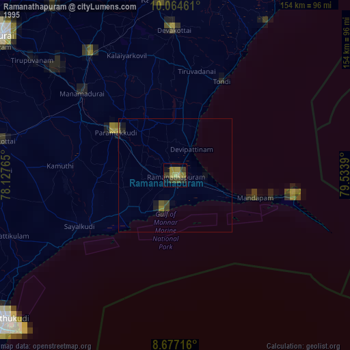
» NASA, Earths city lights 1995
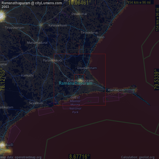
» NASA city lights 2003
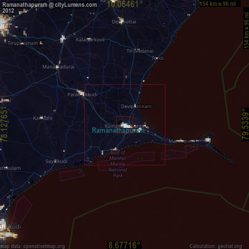
» Earth at Night: Flat Maps 2012, 2016