Rāmāpuram night lights from space
Night Light of Rāmāpuram (Andhra Pradesh) from space (India) Src. Average luminocity for 10x10km area is 7.2424% and for 50x50km: 23.8056%.
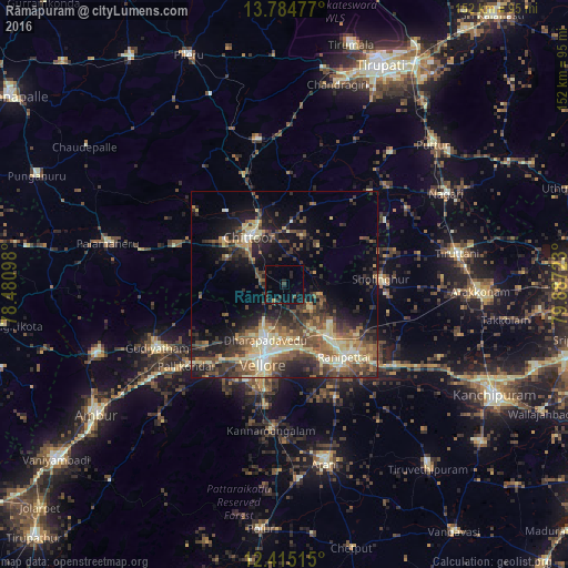
Analysis of Rāmāpuram night lights 2016
Square area 10x10 km:
 0%
0%90-99
0%80-89
0%70-79
0.22%60-69
0.65%50-59
0.22%40-49
1.52%30-39
3.25%20-29
4.11%10-19
7.36%0-9
82.68%Square area 50x50 km:
0.73%90-99
3.69%80-89
4.67%70-79
2.21%60-69
3.31%50-59
5.13%40-49
5.89%30-39
6.05%20-29
6.71%10-19
11.14%0-9
50.48%Clear (daylight) street map image can be seen on geolist.org.
Map coordinates:
13° 47' 5.2" North, 78° 28' 51.5" East
13° 6' 3.3" North, 79° 11' 2.8" East
12° 24' 54.5" North, 79° 53' 14" East
Some cities around Rāmāpuram sort by population:
• Vellore
21 km =13 mi,  195°
195°
• Gudiyatham
37.8 km =23.5 mi,  242°
242°
• Arcot
26.2 km =16.3 mi,  146°
146°
• Walajapet
27.8 km =17.3 mi,  134°
134°
• Sholinghur
25.6 km =15.9 mi,  85°
85°
• Pallikondai
34 km =21.1 mi,  230°
230°
• Kātpādi
15.2 km =9.4 mi, 195°
• Pudūr
12.3 km =7.6 mi, 201°
1258726 (p: 31,169)
Sources (retrieved 2019-11-25):
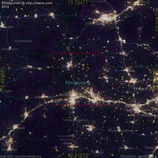
» Earth at Night: Flat Maps 2012, 2016