Arcot night lights from space
Night Light of Arcot (Tamil Nadu) from space (India) Src. Average luminocity for 10x10km area is 64.8853% and for 50x50km: 23.4026%.
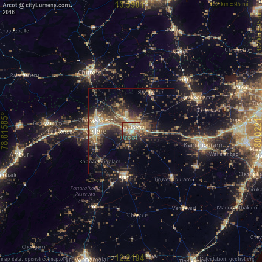
Analysis of Arcot night lights 2016
Square area 10x10 km:
 1.3%
1.3%90-99
20.56%80-89
18.4%70-79
4.98%60-69
9.74%50-59
13.85%40-49
14.07%30-39
7.14%20-29
9.09%10-19
0.87%0-9
0%Square area 50x50 km:
0.65%90-99
3.36%80-89
4.24%70-79
2.27%60-69
3.48%50-59
4.66%40-49
5.85%30-39
5.91%20-29
7.21%10-19
12.17%0-9
50.19%Clear (daylight) street map image can be seen on geolist.org.
Map coordinates:
13° 35' 24.4" North, 78° 36' 57.1" East
12° 54' 20.5" North, 79° 19' 8.3" East
12° 13' 9.8" North, 80° 1' 19.6" East
Some cities around Arcot sort by population:
• Vellore
20.3 km =12.6 mi,  274°
274°
• Arni
26.7 km =16.6 mi,  187°
187°
• Rāmāpuram
26.2 km =16.3 mi,  326°
326°
• Walajapet
5.6 km =3.5 mi,  67°
67°
• Sholinghur
26 km =16.2 mi,  24°
24°
• Kātpādi
20.1 km =12.5 mi,  290°
290°
• Pudūr
21.6 km =13.4 mi,  298°
298°
• Kalavai
18.6 km =11.6 mi,  143°
143°
1278432 (p: 51,943)
Sources (retrieved 2019-11-25):
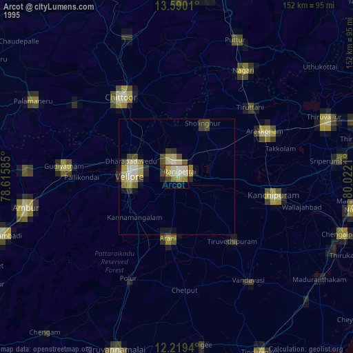
» NASA, Earths city lights 1995
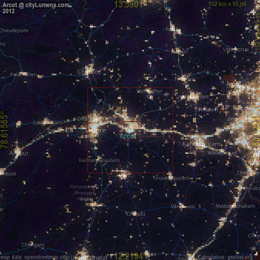
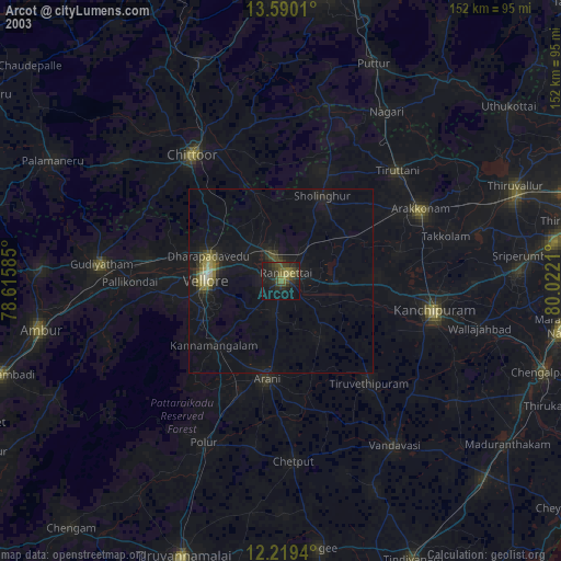
» NASA city lights 2003
» Earth at Night: Flat Maps 2012, 2016