Vellore night lights from space
Night Light of Vellore (Tamil Nadu) from space (India) Src. Average luminocity for 10x10km area is 78.7727% and for 50x50km: 22.6648%.
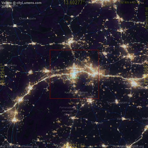

Analysis of Vellore night lights 2016
Square area 10x10 km:
 13.2%
13.2%90-99
24.68%80-89
24.03%70-79
6.71%60-69
11.47%50-59
10.61%40-49
5.19%30-39
3.03%20-29
1.08%10-19
0%0-9
0%Square area 50x50 km:
0.65%90-99
3.36%80-89
3.93%70-79
1.9%60-69
2.81%50-59
4.85%40-49
6.01%30-39
6.47%20-29
7.65%10-19
12.59%0-9
49.77%Clear (daylight) street map image can be seen on geolist.org.
Map coordinates:
13° 36' 10" North, 78° 25' 45.9" East
12° 55' 6.2" North, 79° 7' 57.2" East
12° 13' 55.7" North, 79° 50' 8.4" East
Some cities around Vellore sort by population:
• Gudiyatham
28.2 km =17.5 mi,  276°
276°
• Arcot
20.3 km =12.6 mi,  94°
94°
• Rāmāpuram
21 km =13 mi,  15°
15°
• Walajapet
25.3 km =15.7 mi, 88°
• Pallikondai
20.6 km =12.8 mi,  265°
265°
• Kātpādi
5.9 km =3.7 mi,  13°
13°
• Pudūr
8.9 km =5.5 mi, 7°
• Odugattūr
31.8 km =19.8 mi,  238°
238°
1253286 (p: 177,081)
Sources (retrieved 2019-11-25):
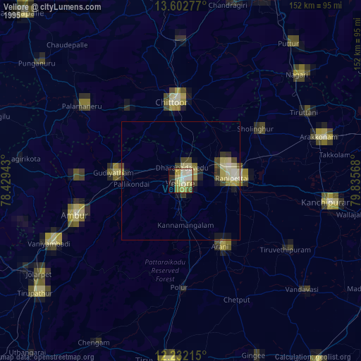
» NASA, Earths city lights 1995
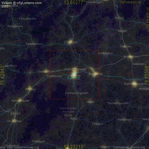
» NASA city lights 2003
» Earth at Night: Flat Maps 2012, 2016