Harunabad night lights from space
Night Light of Harunabad (Punjab) from space (Pakistan) Src. Average luminocity for 10x10km area is 21.8948% and for 50x50km: 7.3355%.
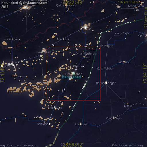
Analysis of Harunabad night lights 2016
Square area 10x10 km:
 0.79%
0.79%90-99
4.96%80-89
3.97%70-79
3.77%60-69
0%50-59
2.18%40-49
3.77%30-39
1.98%20-29
2.18%10-19
29.76%0-9
46.63%Square area 50x50 km:
0.32%90-99
0.82%80-89
0.82%70-79
2.49%60-69
1.36%50-59
0.26%40-49
0.31%30-39
0.28%20-29
0.2%10-19
5.15%0-9
87.99%Clear (daylight) street map image can be seen on geolist.org.
Map coordinates:
30° 13' 17.4" North, 72° 26' 5.6" East
29° 36' 43.4" North, 73° 8' 16.9" East
28° 59' 56.1" North, 73° 50' 28.1" East
Some cities around Harunabad sort by population:
• Bahawalnagar
44.4 km =27.6 mi,  14°
14°
• Chishtian
34 km =21.1 mi,  307°
307°
• Anūpgarh, IN
47.3 km =29.4 mi,  171°
171°
• Rāisinghnagar, IN
31.3 km =19.4 mi,  105°
105°
• Dunga Bunga
18.4 km =11.4 mi,  33°
33°
• Faqirwali
18.9 km =11.7 mi,  211°
211°
• Karanpur, IN
39.8 km =24.7 mi,  50°
50°
• Dinan Bashnoian Wala
21.1 km =13.1 mi,  35°
35°
1177073 (p: 72,432)
Sources (retrieved 2019-11-25):
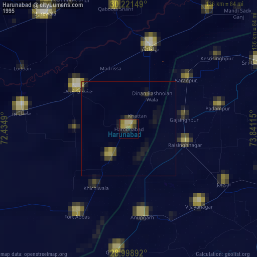
» NASA, Earths city lights 1995
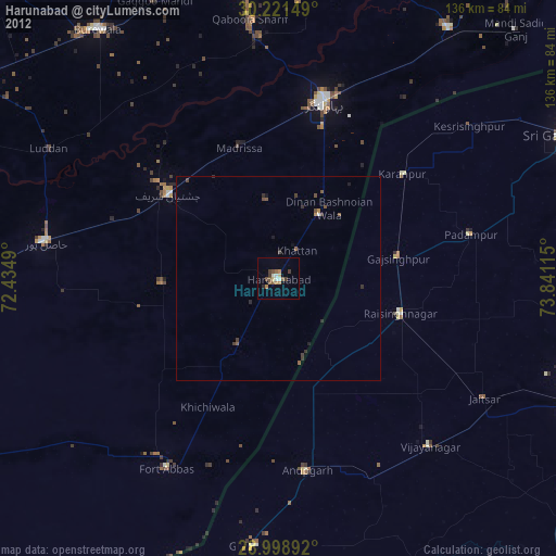
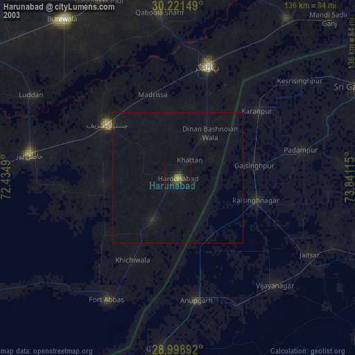
» NASA city lights 2003
» Earth at Night: Flat Maps 2012, 2016