Faqirwali night lights from space
Night Light of Faqirwali (Punjab) from space (Pakistan) Src. Average luminocity for 10x10km area is 3.9508% and for 50x50km: 9.0653%.
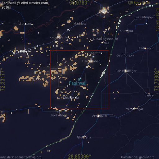
Analysis of Faqirwali night lights 2016
Square area 10x10 km:
 0.38%
0.38%90-99
0.38%80-89
0%70-79
0.76%60-69
0.76%50-59
0%40-49
0.76%30-39
0.76%20-29
0.76%10-19
0%0-9
95.45%Square area 50x50 km:
0.33%90-99
0.81%80-89
1.02%70-79
2.64%60-69
2.87%50-59
0.34%40-49
0.22%30-39
0.15%20-29
0.17%10-19
7.71%0-9
83.75%Clear (daylight) street map image can be seen on geolist.org.
Map coordinates:
30° 4' 41.9" North, 72° 19' 54.4" East
29° 28' 4.8" North, 73° 2' 5.6" East
28° 51' 14.4" North, 73° 44' 16.9" East
Some cities around Faqirwali sort by population:
• Chishtian
40.4 km =25.1 mi,  334°
334°
• Hasilpur
53.5 km =33.2 mi,  297°
297°
• Harunabad
18.9 km =11.7 mi,  31°
31°
• Fort Abbas
35.1 km =21.8 mi,  209°
209°
• Anūpgarh, IN
35.1 km =21.8 mi,  151°
151°
• Rāisinghnagar, IN
40.8 km =25.4 mi,  79°
79°
• Dunga Bunga
37.2 km =23.1 mi, 32°
• Dinan Bashnoian Wala
39.9 km =24.8 mi, 33°
1179377 (p: 25,186)
Sources (retrieved 2019-11-25):
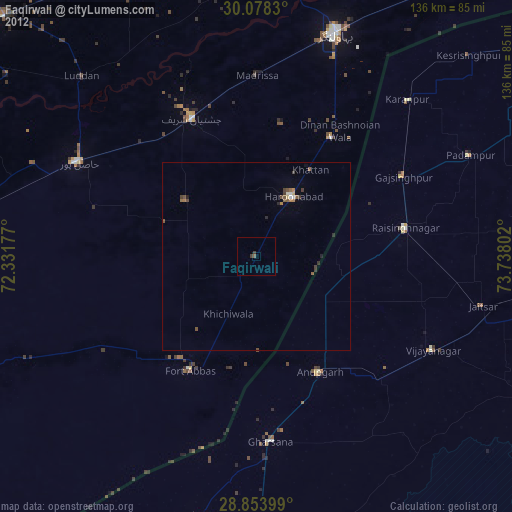
» Earth at Night: Flat Maps 2012, 2016