Anūpgarh night lights from space
Night Light of Anūpgarh (Rajasthan) from space (India) Src. Average luminocity for 10x10km area is 3.8512% and for 50x50km: 1.9636%.
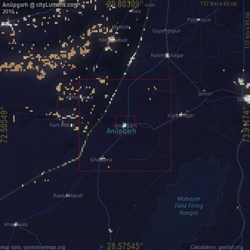
Analysis of Anūpgarh night lights 2016
Square area 10x10 km:
 0%
0%90-99
2.38%80-89
0%70-79
0%60-69
0%50-59
0.79%40-49
0%30-39
0.79%20-29
0.79%10-19
1.59%0-9
93.65%Square area 50x50 km:
0.11%90-99
0.27%80-89
0.13%70-79
0.54%60-69
0.52%50-59
0.15%40-49
0.14%30-39
0.2%20-29
0.21%10-19
0.19%0-9
97.54%Clear (daylight) street map image can be seen on geolist.org.
Map coordinates:
29° 48' 11.1" North, 72° 30' 19.8" East
29° 11' 28" North, 73° 12' 31" East
28° 34' 31.6" North, 73° 54' 42.3" East
Some cities around Anūpgarh sort by population:
• Harunabad, PK
47.3 km =29.4 mi,  351°
351°
• Sūratgarh
68.6 km =42.6 mi,  77°
77°
• Fort Abbas, PK
34.3 km =21.3 mi,  270°
270°
• Rāisinghnagar
44.9 km =27.9 mi,  31°
31°
• Dunga Bunga, PK
62.2 km =38.6 mi,  3°
3°
• Faqirwali, PK
35.1 km =21.8 mi,  331°
331°
• Padampur
70.3 km =43.7 mi,  35°
35°
• Dinan Bashnoian Wala, PK
64.1 km =39.8 mi, 4°
1278510 (p: 33,309)
Sources (retrieved 2019-11-25):
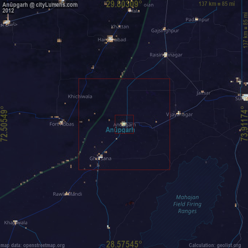
» Earth at Night: Flat Maps 2012, 2016