Jagraon night lights from space
Night Light of Jagraon (Punjab) from space (India) Src. Average luminocity for 10x10km area is 38.3147% and for 50x50km: 15.7126%.
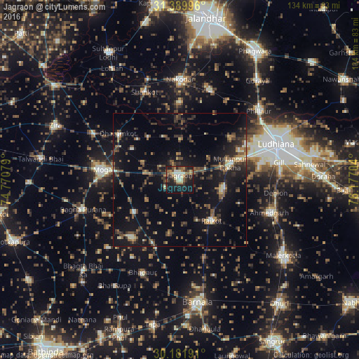
Analysis of Jagraon night lights 2016
Square area 10x10 km:
 1.57%
1.57%90-99
7.87%80-89
5.07%70-79
3.67%60-69
7.69%50-59
6.82%40-49
6.29%30-39
6.47%20-29
13.46%10-19
34.44%0-9
6.64%Square area 50x50 km:
0.35%90-99
1.63%80-89
1.12%70-79
1.16%60-69
2.21%50-59
2.94%40-49
4.14%30-39
3.85%20-29
5.25%10-19
15.42%0-9
61.92%Clear (daylight) street map image can be seen on geolist.org.
Map coordinates:
31° 23' 23.9" North, 74° 46' 14.8" East
30° 47' 16.2" North, 75° 28' 26.1" East
30° 10' 54.9" North, 76° 10' 37.3" East
Some cities around Jagraon sort by population:
• Moga
29.3 km =18.2 mi,  275°
275°
• Nakodar
37.6 km =23.4 mi,  0°
0°
• Rāikot
19.5 km =12.1 mi,  141°
141°
• Bhadaur
37.2 km =23.1 mi,  201°
201°
• Shāhkot
35.2 km =21.9 mi,  338°
338°
• Nūrmahal
36.2 km =22.5 mi,  18°
18°
• Kot Īsa Khān
36.6 km =22.7 mi,  298°
298°
• Badhni Kalān
21.1 km =13.1 mi,  235°
235°
1269564 (p: 65,305)
Sources (retrieved 2019-11-25):
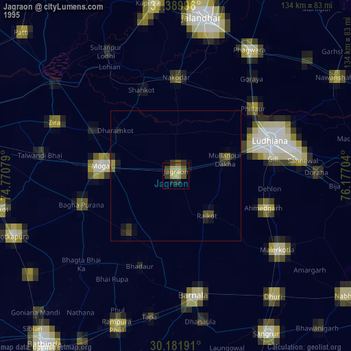
» NASA, Earths city lights 1995
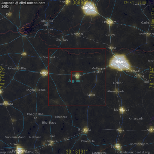
» NASA city lights 2003
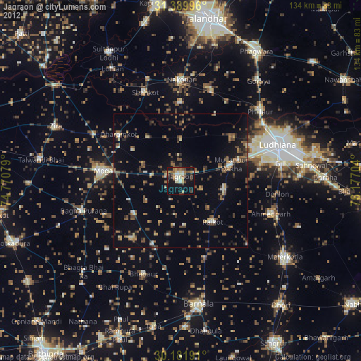
» Earth at Night: Flat Maps 2012, 2016