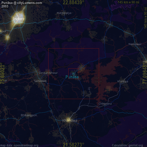
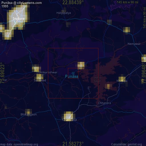
Punāsa night lights from space
Night Light of Punāsa (Madhya Pradesh) from space (India) Src. Average luminocity for 10x10km area is 4.3996% and for 50x50km: 4.2718%.


Analysis of Punāsa night lights 2016
Square area 10x10 km:
 0%
0%90-99
0.76%80-89
0%70-79
0%60-69
0.19%50-59
1.7%40-49
0.76%30-39
2.27%20-29
0.38%10-19
2.27%0-9
91.67%Square area 50x50 km:
0.29%90-99
0.61%80-89
0.39%70-79
0.31%60-69
0.51%50-59
0.73%40-49
0.73%30-39
1.16%20-29
1.17%10-19
3.02%0-9
91.08%Clear (daylight) street map image can be seen on geolist.org.
Map coordinates:
22° 53' 3.8" North, 75° 41' 24.8" East
22° 14' 6.3" North, 76° 23' 36.1" East
21° 34' 57.8" North, 77° 5' 47.3" East
Some cities around Punāsa sort by population:
• Khandwa
45.9 km =28.5 mi,  185°
185°
• Sanāwad
34 km =21.1 mi,  258°
258°
• Khirkiyān
48.8 km =30.3 mi,  98°
98°
• Harsūd
38.2 km =23.7 mi,  113°
113°
• Kannod
60 km =37.3 mi,  36°
36°
• Satwās
44.9 km =27.9 mi, 41°
• Mundi
21.3 km =13.2 mi,  151°
151°
• Bāgli
45.4 km =28.2 mi,  354°
354°
1259239 (p: 350,000)
Sources (retrieved 2019-11-25):
» NASA, Earths city lights 1995
» NASA city lights 2003
» Earth at Night: Flat Maps 2012, 2016