Khandwa night lights from space
Night Light of Khandwa (Madhya Pradesh) from space (India) Src. Average luminocity for 10x10km area is 46.6349% and for 50x50km: 4.2817%.
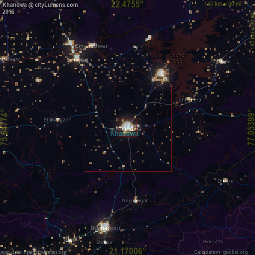
Analysis of Khandwa night lights 2016
Square area 10x10 km:
 8.93%
8.93%90-99
13.29%80-89
3.97%70-79
3.57%60-69
5.56%50-59
2.98%40-49
6.94%30-39
7.74%20-29
10.52%10-19
34.52%0-9
1.98%Square area 50x50 km:
0.41%90-99
0.57%80-89
0.26%70-79
0.23%60-69
0.48%50-59
0.76%40-49
0.93%30-39
1.16%20-29
1.22%10-19
3.51%0-9
90.46%Clear (daylight) street map image can be seen on geolist.org.
Map coordinates:
22° 28' 31.8" North, 75° 38' 51.9" East
21° 49' 27.4" North, 76° 21' 3.1" East
21° 10' 12.2" North, 77° 3' 14.4" East
Some cities around Khandwa sort by population:
• Punāsa
45.9 km =28.5 mi,  5°
5°
• Burhānpur
58.7 km =36.5 mi,  192°
192°
• Sanāwad
48.5 km =30.1 mi,  323°
323°
• Nepānagar
41.4 km =25.7 mi,  173°
173°
• Harsūd
50 km =31.1 mi,  52°
52°
• Bhikangaon
40.2 km =25 mi,  276°
276°
• Pandhāna
19.1 km =11.9 mi,  222°
222°
• Mundi
30.7 km =19.1 mi,  28°
28°
1267031 (p: 182,841)
Sources (retrieved 2019-11-25):
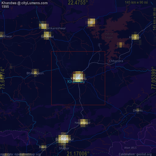
» NASA, Earths city lights 1995
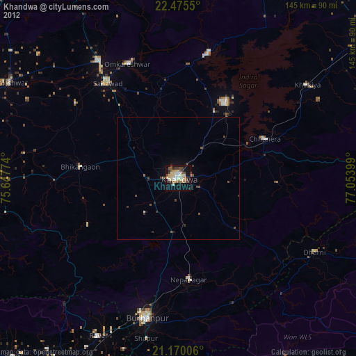
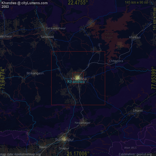
» NASA city lights 2003
» Earth at Night: Flat Maps 2012, 2016