Pukhrāyān night lights from space
Night Light of Pukhrāyān (Uttar Pradesh) from space (India) Src. Average luminocity for 10x10km area is 22.1429% and for 50x50km: 6.6765%.
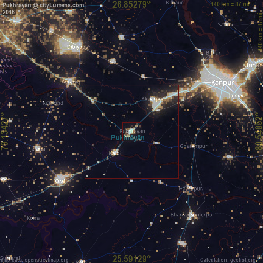
Analysis of Pukhrāyān night lights 2016
Square area 10x10 km:
 2.18%
2.18%90-99
2.98%80-89
3.37%70-79
0.99%60-69
3.77%50-59
2.78%40-49
3.97%30-39
4.56%20-29
5.16%10-19
13.49%0-9
56.75%Square area 50x50 km:
0.61%90-99
1.5%80-89
0.67%70-79
0.41%60-69
0.54%50-59
0.7%40-49
1.17%30-39
1.09%20-29
2.55%10-19
4.5%0-9
86.26%Clear (daylight) street map image can be seen on geolist.org.
Map coordinates:
26° 51' 10" North, 79° 8' 3.4" East
26° 13' 25.5" North, 79° 50' 14.6" East
25° 35' 28.6" North, 80° 32' 25.9" East
Some cities around Pukhrāyān sort by population:
• Kālpi
15.8 km =9.8 mi,  221°
221°
• Ghātampur
33.9 km =21.1 mi,  103°
103°
• Jhīnjhak
38.9 km =24.2 mi,  344°
344°
• Akbarpur
21 km =13 mi,  32°
32°
• Rura
30.3 km =18.8 mi,  12°
12°
• Kadaura
26.5 km =16.5 mi,  179°
179°
• Kurāra
31 km =19.3 mi,  150°
150°
• Sikandra
26.1 km =16.2 mi,  307°
307°
1259283 (p: 22,555)
Sources (retrieved 2019-11-25):
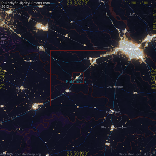
» Earth at Night: Flat Maps 2012, 2016