Porbandar night lights from space
Night Light of Porbandar (Gujarat) from space (India) Src. Average luminocity for 10x10km area is 48.6023% and for 50x50km: 4.8764%.
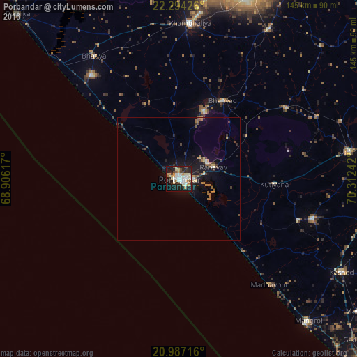

Analysis of Porbandar night lights 2016
Square area 10x10 km:
 6.25%
6.25%90-99
15.53%80-89
10.23%70-79
4.92%60-69
2.84%50-59
2.08%40-49
6.44%30-39
3.79%20-29
15.53%10-19
26.7%0-9
5.68%Square area 50x50 km:
0.34%90-99
0.84%80-89
0.65%70-79
0.43%60-69
0.82%50-59
0.46%40-49
0.71%30-39
0.71%20-29
1.24%10-19
4.78%0-9
89.02%Clear (daylight) street map image can be seen on geolist.org.
Map coordinates:
22° 17' 39.3" North, 68° 54' 22.2" East
21° 38' 31.9" North, 69° 36' 33.4" East
20° 59' 13.8" North, 70° 18' 44.7" East
Some cities around Porbandar sort by population:
• Jodhpur
52.4 km =32.6 mi,  56°
56°
• Khambhāliya
62.9 km =39.1 mi,  3°
3°
• Mānāvadar
56.9 km =35.4 mi,  106°
106°
• Rānāvāv
14.9 km =9.3 mi,  70°
70°
• Bhānvad
36.6 km =22.7 mi,  28°
28°
• Bhāyāvadar
70.1 km =43.6 mi, 70°
• Kutiyāna
38.9 km =24.2 mi,  92°
92°
• Bāntva
51.2 km =31.8 mi, 109°
1259395 (p: 138,872)
Sources (retrieved 2019-11-25):
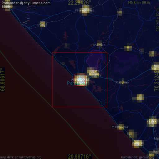
» NASA, Earths city lights 1995
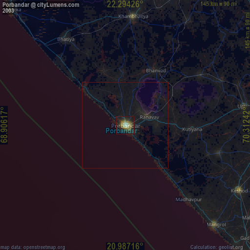
» NASA city lights 2003
» Earth at Night: Flat Maps 2012, 2016