Bhānvad night lights from space
Night Light of Bhānvad (Gujarat) from space (India) Src. Average luminocity for 10x10km area is 11.6171% and for 50x50km: 2.7282%.
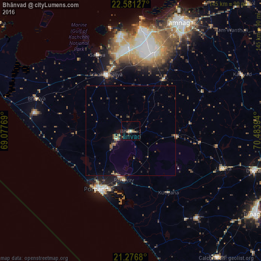
Analysis of Bhānvad night lights 2016
Square area 10x10 km:
 0%
0%90-99
2.38%80-89
0%70-79
2.98%60-69
0.99%50-59
1.19%40-49
1.98%30-39
2.18%20-29
3.37%10-19
4.17%0-9
80.75%Square area 50x50 km:
0.05%90-99
0.13%80-89
0.18%70-79
0.31%60-69
0.42%50-59
0.64%40-49
0.7%30-39
0.57%20-29
0.88%10-19
1.18%0-9
94.94%Clear (daylight) street map image can be seen on geolist.org.
Map coordinates:
22° 34' 52.6" North, 69° 4' 39.7" East
21° 55' 49.9" North, 69° 46' 50.9" East
21° 16' 36.5" North, 70° 29' 2.2" East
Some cities around Bhānvad sort by population:
• Porbandar
36.6 km =22.7 mi,  208°
208°
• Jodhpur
26.2 km =16.3 mi,  97°
97°
• Khambhāliya
33.5 km =20.8 mi,  336°
336°
• Salāya
46 km =28.6 mi, 336°
• Rānāvāv
27.3 km =17 mi,  187°
187°
• Bhāyāvadar
48.9 km =30.4 mi, 99°
• Kutiyāna
40.1 km =24.9 mi,  148°
148°
• Lālpur
34.5 km =21.4 mi,  33°
33°
1276147 (p: 20,823)
Sources (retrieved 2019-11-25):
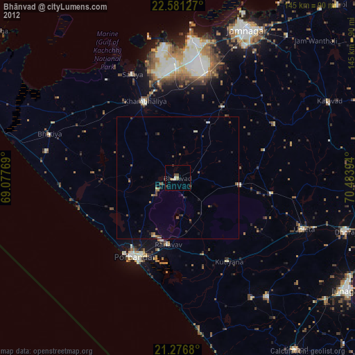
» Earth at Night: Flat Maps 2012, 2016