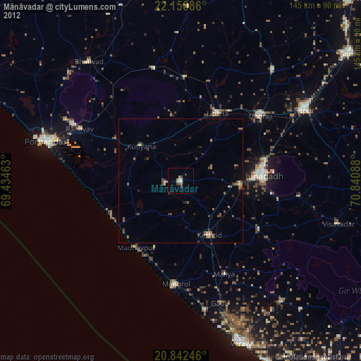
Mānāvadar night lights from space
Night Light of Mānāvadar (Gujarat) from space (India) Src. Average luminocity for 10x10km area is 12.8258% and for 50x50km: 2.8225%.
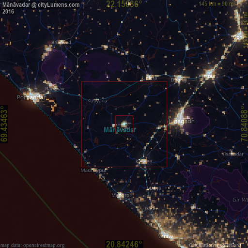
Analysis of Mānāvadar night lights 2016
Square area 10x10 km:
 0.38%
0.38%90-99
2.65%80-89
0.38%70-79
0.57%60-69
1.89%50-59
2.46%40-49
2.27%30-39
4.17%20-29
4.17%10-19
2.08%0-9
78.98%Square area 50x50 km:
0.06%90-99
0.39%80-89
0.23%70-79
0.13%60-69
0.42%50-59
0.61%40-49
0.65%30-39
0.57%20-29
0.97%10-19
0.85%0-9
95.14%Clear (daylight) street map image can be seen on geolist.org.
Map coordinates:
22° 9' 3.1" North, 69° 26' 4.7" East
21° 29' 53.3" North, 70° 8' 15.9" East
20° 50' 32.9" North, 70° 50' 27.2" East
Some cities around Mānāvadar sort by population:
• Jūnāgadh
33.4 km =20.8 mi,  85°
85°
• Dhorāji
41.6 km =25.8 mi,  50°
50°
• Keshod
24.5 km =15.2 mi,  152°
152°
• Upleta
30.8 km =19.1 mi,  29°
29°
• Bhāyāvadar
41.3 km =25.7 mi,  15°
15°
• Mendarda
37 km =23 mi,  122°
122°
• Kutiyāna
21.1 km =13.1 mi,  311°
311°
• Bāntva
6.5 km =4 mi,  260°
260°
1263943 (p: 29,105)
Sources (retrieved 2019-11-25):
» Earth at Night: Flat Maps 2012, 2016