Bāntva night lights from space
Night Light of Bāntva (Gujarat) from space (India) Src. Average luminocity for 10x10km area is 6.2178% and for 50x50km: 2.5041%.
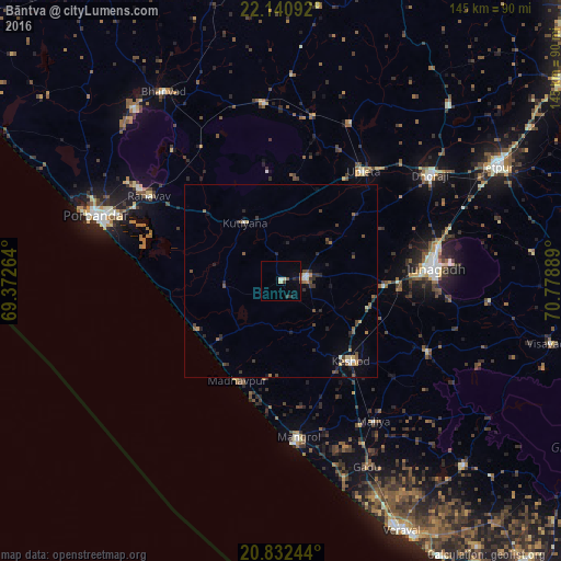
Analysis of Bāntva night lights 2016
Square area 10x10 km:
 0.38%
0.38%90-99
0.38%80-89
1.7%70-79
0.19%60-69
0%50-59
1.14%40-49
0.95%30-39
0.95%20-29
1.52%10-19
1.14%0-9
91.67%Square area 50x50 km:
0.06%90-99
0.33%80-89
0.23%70-79
0.16%60-69
0.3%50-59
0.54%40-49
0.61%30-39
0.46%20-29
0.97%10-19
0.84%0-9
95.5%Clear (daylight) street map image can be seen on geolist.org.
Map coordinates:
22° 8' 27.3" North, 69° 22' 21.5" East
21° 29' 17.3" North, 70° 4' 32.7" East
20° 49' 56.8" North, 70° 46' 44" East
Some cities around Bāntva sort by population:
• Jūnāgadh
39.9 km =24.8 mi,  84°
84°
• Keshod
27.3 km =17 mi,  138°
138°
• Māngrol
40.8 km =25.4 mi,  174°
174°
• Upleta
35.2 km =21.9 mi,  37°
37°
• Mānāvadar
6.5 km =4 mi, 80°
• Rānāvāv
40.8 km =25.4 mi,  302°
302°
• Mendarda
42.1 km =26.2 mi,  116°
116°
• Kutiyāna
17.8 km =11.1 mi,  328°
328°
1277202 (p: 15,051)
Sources (retrieved 2019-11-25):
» Earth at Night: Flat Maps 2012, 2016