Allahābād night lights from space
Night Light of Allahābād (Uttar Pradesh) from space (India) Src. Average luminocity for 10x10km area is 98.1607% and for 50x50km: 51.492%.
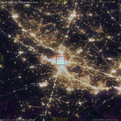
Analysis of Allahābād night lights 2016
Square area 10x10 km:
 76.59%
90-99
17.86%80-89
0.79%70-79
3.37%60-69
0.6%50-59
0.79%40-49
0%30-39
0%20-29
0%10-19
0%0-9
0%Square area 50x50 km:
9.01%90-99
8.13%80-89
5.42%70-79
7.6%60-69
8.48%50-59
9.71%40-49
11.53%30-39
10.85%20-29
11.8%10-19
10.89%0-9
6.57%Clear (daylight) street map image can be seen on geolist.org.
Map coordinates:
26° 4' 40.9" North, 81° 8' 24.4" East
25° 26' 41.2" North, 81° 50' 35.6" East
24° 48' 29.5" North, 82° 32' 46.9" East
Some cities around Allahābād sort by population:
• Phulpur
27.3 km =17 mi,  64°
64°
• Mau Aimma
29 km =18 mi,  16°
16°
• Handiā
35.6 km =22.1 mi,  104°
104°
• Sarāi Ākil
34.2 km =21.3 mi,  257°
257°
• Jhūsi
6.3 km =3.9 mi, 97°
• Shankargarh
37 km =23 mi,  217°
217°
• Sirsā
32.1 km =19.9 mi,  128°
128°
• Chail
21.3 km =13.2 mi, 264°
1278994 (p: 1,073,438)
Sources (retrieved 2019-11-25):
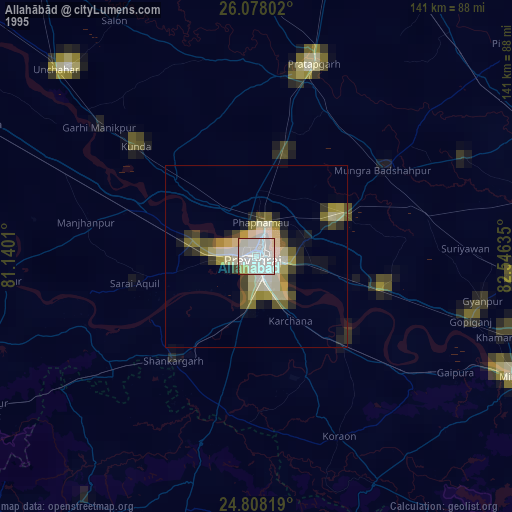
» NASA, Earths city lights 1995
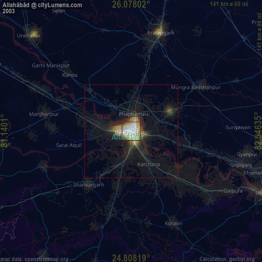
» NASA city lights 2003
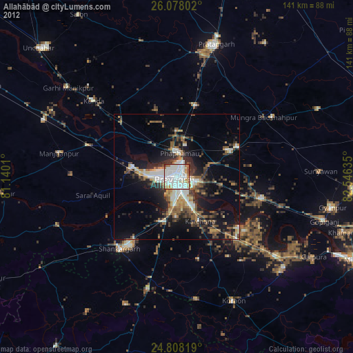
» Earth at Night: Flat Maps 2012, 2016