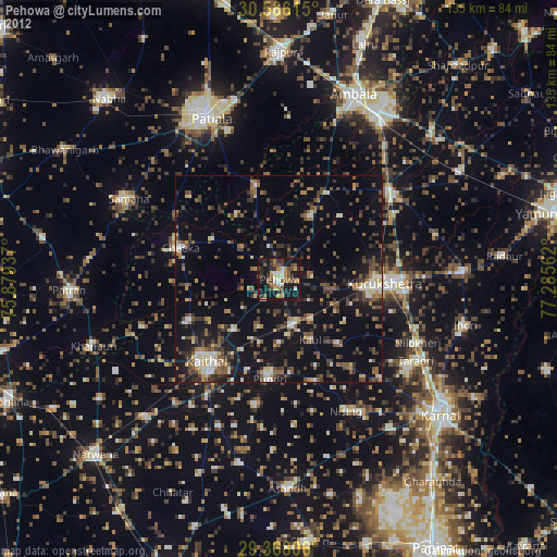
Pehowa night lights from space
Night Light of Pehowa (Haryana) from space (India) Src. Average luminocity for 10x10km area is 32.1458% and for 50x50km: 14.426%.
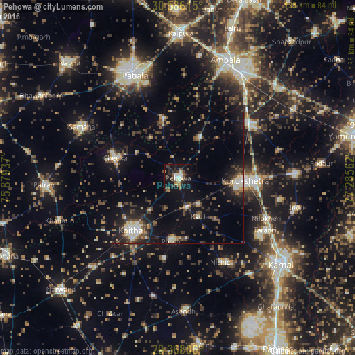
Analysis of Pehowa night lights 2016
Square area 10x10 km:
 3.22%
3.22%90-99
5.3%80-89
3.22%70-79
2.46%60-69
2.46%50-59
6.06%40-49
5.87%30-39
9.85%20-29
9.09%10-19
40.91%0-9
11.55%Square area 50x50 km:
0.93%90-99
2.04%80-89
1.4%70-79
0.99%60-69
1.23%50-59
2.2%40-49
3.55%30-39
3.38%20-29
4.97%10-19
11.41%0-9
67.91%Clear (daylight) street map image can be seen on geolist.org.
Map coordinates:
30° 35' 10.1" North, 75° 52' 45.7" East
29° 58' 44.3" North, 76° 34' 57" East
29° 22' 5" North, 77° 17' 8.2" East
Some cities around Pehowa sort by population:
• Patiāla
43.7 km =27.2 mi,  335°
335°
• Kaithal
26.5 km =16.5 mi,  221°
221°
• Thānesar
24.1 km =15 mi,  91°
91°
• Shāhābād
34.8 km =21.6 mi,  52°
52°
• Sanaur
37.8 km =23.5 mi, 341°
• Pūndri
24.3 km =15.1 mi,  185°
185°
• Nīlokheri
37.2 km =23.1 mi,  115°
115°
• Ghanaur
39.2 km =24.4 mi,  4°
4°
1259939 (p: 39,101)
Sources (retrieved 2019-11-25):
» Earth at Night: Flat Maps 2012, 2016