Kaithal night lights from space
Night Light of Kaithal (Haryana) from space (India) Src. Average luminocity for 10x10km area is 59.9444% and for 50x50km: 14.5612%.
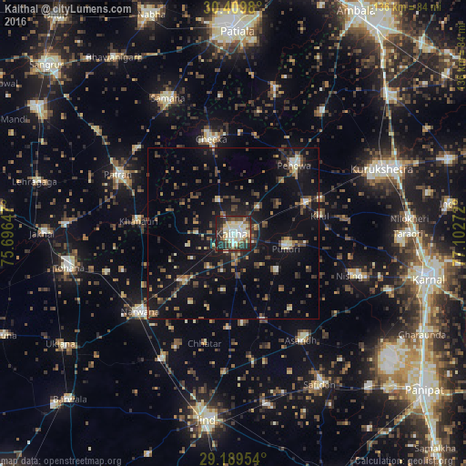
Analysis of Kaithal night lights 2016
Square area 10x10 km:
 9.33%
9.33%90-99
19.25%80-89
11.11%70-79
3.77%60-69
5.56%50-59
6.55%40-49
8.13%30-39
11.11%20-29
20.63%10-19
4.56%0-9
0%Square area 50x50 km:
0.79%90-99
1.58%80-89
1.55%70-79
1.21%60-69
1.27%50-59
2.34%40-49
3.43%30-39
3.63%20-29
4.11%10-19
13.44%0-9
66.66%Clear (daylight) street map image can be seen on geolist.org.
Map coordinates:
30° 24' 35.3" North, 75° 41' 47.3" East
29° 48' 5.5" North, 76° 23' 58.5" East
29° 11' 22.3" North, 77° 6' 9.8" East
Some cities around Kaithal sort by population:
• Thānesar
45.9 km =28.5 mi,  65°
65°
• Tohāna
48.8 km =30.3 mi,  258°
258°
• Narwāna
35.2 km =21.9 mi,  230°
230°
• Pehowa
26.5 km =16.5 mi,  41°
41°
• Āsandh
37 km =23 mi,  147°
147°
• Pūndri
16.2 km =10.1 mi,  106°
106°
• Bara Uchāna
42.9 km =26.7 mi,  209°
209°
• Akālgarh
49.1 km =30.5 mi,  272°
272°
1268593 (p: 140,604)
Sources (retrieved 2019-11-25):
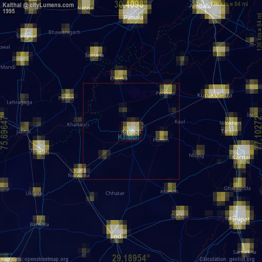
» NASA, Earths city lights 1995
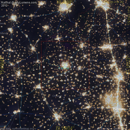
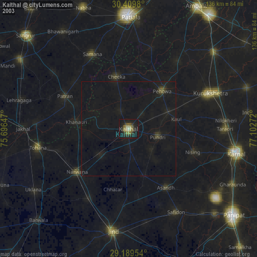
» NASA city lights 2003
» Earth at Night: Flat Maps 2012, 2016