Parlākimidi night lights from space
Night Light of Parlākimidi (Andhra Pradesh) from space (India) Src. Average luminocity for 10x10km area is 19.3533% and for 50x50km: 1.9959%.
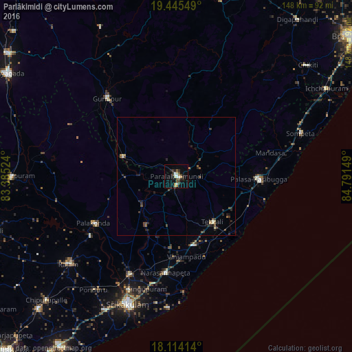
Analysis of Parlākimidi night lights 2016
Square area 10x10 km:
 2.07%
2.07%90-99
3.1%80-89
3.1%70-79
1.65%60-69
0.83%50-59
3.1%40-49
3.1%30-39
4.13%20-29
4.13%10-19
6.2%0-9
68.6%Square area 50x50 km:
0.09%90-99
0.24%80-89
0.2%70-79
0.15%60-69
0.13%50-59
0.41%40-49
0.44%30-39
0.53%20-29
0.83%10-19
0.64%0-9
96.34%Clear (daylight) street map image can be seen on geolist.org.
Map coordinates:
19° 26' 43.8" North, 83° 23' 6.9" East
18° 46' 52.1" North, 84° 5' 18.1" East
18° 6' 50.9" North, 84° 47' 29.4" East
Some cities around Parlākimidi sort by population:
• Palāsa
33.9 km =21.1 mi,  91°
91°
• Amudālavalasa
45.6 km =28.3 mi,  205°
205°
• Pālkonda
40.2 km =25 mi,  240°
240°
• Tekkali
24.9 km =15.5 mi,  141°
141°
• Narasannapeta
41 km =25.5 mi,  186°
186°
• Gunupur
44.4 km =27.6 mi,  318°
318°
• Sompeta
55.3 km =34.4 mi,  70°
70°
• Mandasa
40.6 km =25.2 mi,  76°
76°
1260296 (p: 45,379)
Sources (retrieved 2019-11-25):
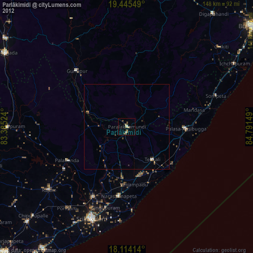
» Earth at Night: Flat Maps 2012, 2016