Tekkali night lights from space
Night Light of Tekkali (Andhra Pradesh) from space (India) Src. Average luminocity for 10x10km area is 10.3017% and for 50x50km: 3.2435%.
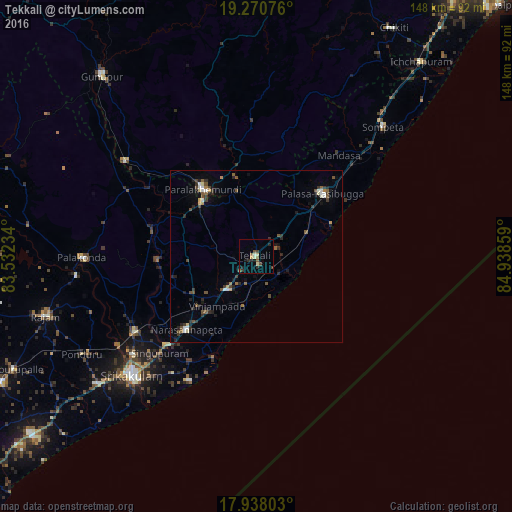
Analysis of Tekkali night lights 2016
Square area 10x10 km:
 0%
0%90-99
2.27%80-89
1.03%70-79
0.83%60-69
0%50-59
3.72%40-49
1.65%30-39
1.86%20-29
3.51%10-19
2.07%0-9
83.06%Square area 50x50 km:
0.13%90-99
0.53%80-89
0.28%70-79
0.19%60-69
0.25%50-59
0.71%40-49
0.63%30-39
0.67%20-29
1.07%10-19
1.17%0-9
94.37%Clear (daylight) street map image can be seen on geolist.org.
Map coordinates:
19° 16' 14.7" North, 83° 31' 56.4" East
18° 36' 20.5" North, 84° 14' 7.7" East
17° 56' 16.9" North, 84° 56' 18.9" East
Some cities around Tekkali sort by population:
• Srikakulam
49.3 km =30.6 mi,  226°
226°
• Palāsa
26.1 km =16.2 mi,  44°
44°
• Parlākimidi
24.9 km =15.5 mi,  321°
321°
• Amudālavalasa
41.2 km =25.6 mi,  238°
238°
• Pālkonda
50.6 km =31.4 mi,  269°
269°
• Narasannapeta
29.3 km =18.2 mi,  223°
223°
• Sompeta
52.6 km =32.7 mi, 44°
• Mandasa
37.8 km =23.5 mi, 39°
1254794 (p: 24,682)
Sources (retrieved 2019-11-25):
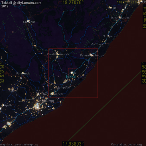
» Earth at Night: Flat Maps 2012, 2016