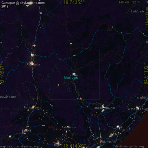
Gunupur night lights from space
Night Light of Gunupur (Odisha) from space (India) Src. Average luminocity for 10x10km area is 8.6407% and for 50x50km: 0.5776%.
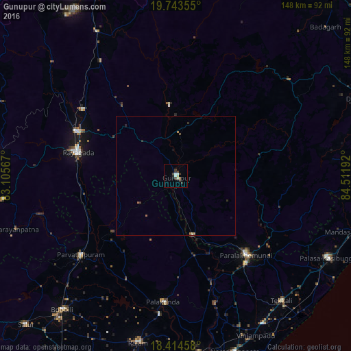
Analysis of Gunupur night lights 2016
Square area 10x10 km:
 0.22%
0.22%90-99
2.6%80-89
1.52%70-79
0%60-69
0%50-59
0.87%40-49
2.16%30-39
4.76%20-29
0.87%10-19
0%0-9
87.01%Square area 50x50 km:
0.01%90-99
0.11%80-89
0.1%70-79
0.05%60-69
0.1%50-59
0.03%40-49
0.14%30-39
0.23%20-29
0.12%10-19
0.07%0-9
99.05%Clear (daylight) street map image can be seen on geolist.org.
Map coordinates:
19° 44' 36.8" North, 83° 6' 20.4" East
19° 4' 49.4" North, 83° 48' 31.6" East
18° 24' 52.5" North, 84° 30' 42.9" East
Some cities around Gunupur sort by population:
• Palāsa
71.9 km =44.7 mi,  118°
118°
• Pārvatipuram
52.1 km =32.4 mi,  230°
230°
• Parlākimidi
44.4 km =27.6 mi,  138°
138°
• Pālkonda
53.3 km =33.1 mi,  186°
186°
• Rāzām
71.9 km =44.7 mi, 192°
• Tekkali
69.3 km =43.1 mi, 139°
• Mandasa
72.7 km =45.2 mi,  108°
108°
• Gudāri
29.9 km =18.6 mi,  354°
354°
1270667 (p: 22,264)
Sources (retrieved 2019-11-25):
» Earth at Night: Flat Maps 2012, 2016