Palāsa night lights from space
Night Light of Palāsa (Andhra Pradesh) from space (India) Src. Average luminocity for 10x10km area is 12.9835% and for 50x50km: 1.7113%.
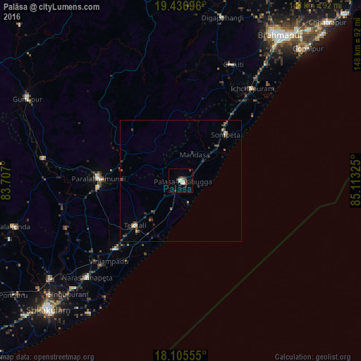
Analysis of Palāsa night lights 2016
Square area 10x10 km:
 0.41%
0.41%90-99
4.55%80-89
0.83%70-79
0%60-69
0.83%50-59
3.31%40-49
0.83%30-39
4.13%20-29
0.41%10-19
4.55%0-9
80.17%Square area 50x50 km:
0.04%90-99
0.31%80-89
0.11%70-79
0.06%60-69
0.14%50-59
0.53%40-49
0.25%30-39
0.59%20-29
0.38%10-19
0.62%0-9
96.97%Clear (daylight) street map image can be seen on geolist.org.
Map coordinates:
19° 26' 13.1" North, 83° 42' 25.2" East
18° 46' 21.3" North, 84° 24' 36.4" East
18° 6' 20" North, 85° 6' 47.7" East
Some cities around Palāsa sort by population:
• Parlākimidi
33.9 km =21.1 mi,  271°
271°
• Amudālavalasa
66.9 km =41.6 mi,  232°
232°
• Ichchāpuram
47.9 km =29.8 mi,  37°
37°
• Tekkali
26.1 km =16.2 mi,  224°
224°
• Narasannapeta
55.4 km =34.4 mi, 224°
• Sompeta
26.5 km =16.5 mi, 43°
• Chikitigarh
52.4 km =32.6 mi,  24°
24°
• Mandasa
12 km =7.5 mi,  27°
27°
1260771 (p: 65,833)
Sources (retrieved 2019-11-25):
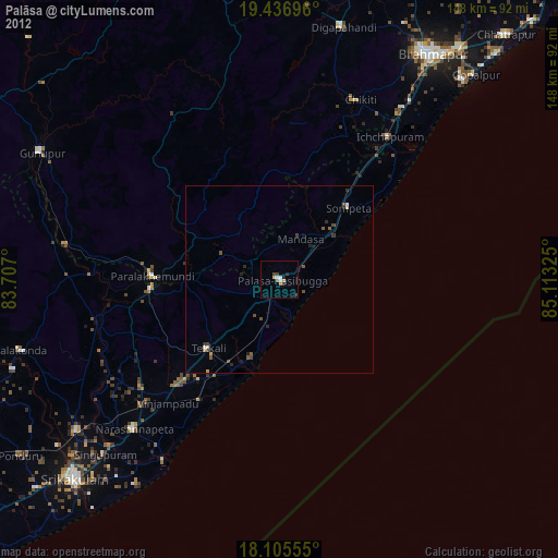
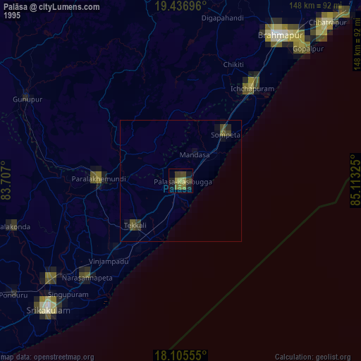
» NASA, Earths city lights 1995
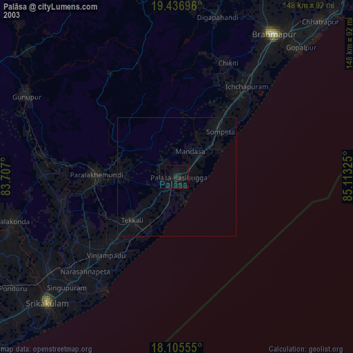
» NASA city lights 2003
» Earth at Night: Flat Maps 2012, 2016