Palwal night lights from space
Night Light of Palwal (Haryana) from space (India) Src. Average luminocity for 10x10km area is 59.1042% and for 50x50km: 30.0856%.
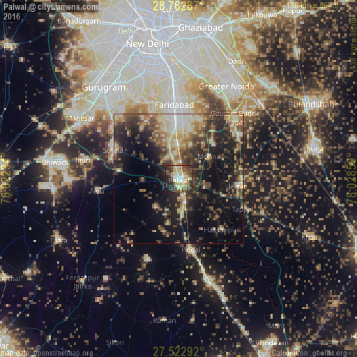
Analysis of Palwal night lights 2016
Square area 10x10 km:
 5.68%
5.68%90-99
13.64%80-89
16.1%70-79
5.11%60-69
4.92%50-59
10.61%40-49
14.58%30-39
11.17%20-29
12.88%10-19
5.3%0-9
0%Square area 50x50 km:
2.43%90-99
4.29%80-89
5.21%70-79
3.45%60-69
4.09%50-59
4.86%40-49
5.95%30-39
7.8%20-29
9.73%10-19
16.48%0-9
35.71%Clear (daylight) street map image can be seen on geolist.org.
Map coordinates:
28° 45' 46.3" North, 76° 37' 20.4" East
28° 8' 40.9" North, 77° 19' 31.7" East
27° 31' 22.5" North, 78° 1' 42.9" East
Some cities around Palwal sort by population:
• Faridabad
29.7 km =18.5 mi,  357°
357°
• Hodal
28.4 km =17.6 mi,  171°
171°
• Sohna
27.9 km =17.3 mi,  294°
294°
• Jewar
22.9 km =14.2 mi,  96°
96°
• Rabūpura
29.6 km =18.4 mi,  66°
66°
• Dankaur
32.1 km =19.9 mi,  44°
44°
• Nūh
32.1 km =19.9 mi,  261°
261°
• Hasanpur
25.6 km =15.9 mi,  139°
139°
1260637 (p: 121,965)
Sources (retrieved 2019-11-25):
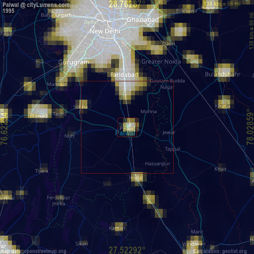
» NASA, Earths city lights 1995
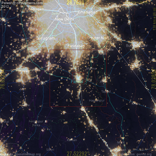
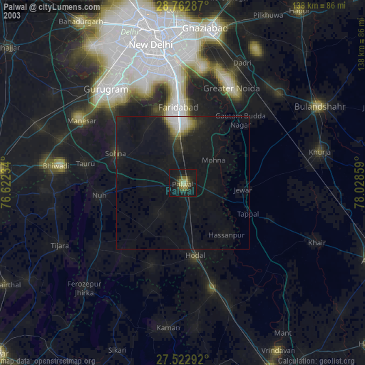
» NASA city lights 2003
» Earth at Night: Flat Maps 2012, 2016