Hodal night lights from space
Night Light of Hodal (Haryana) from space (India) Src. Average luminocity for 10x10km area is 27.1818% and for 50x50km: 15.1183%.
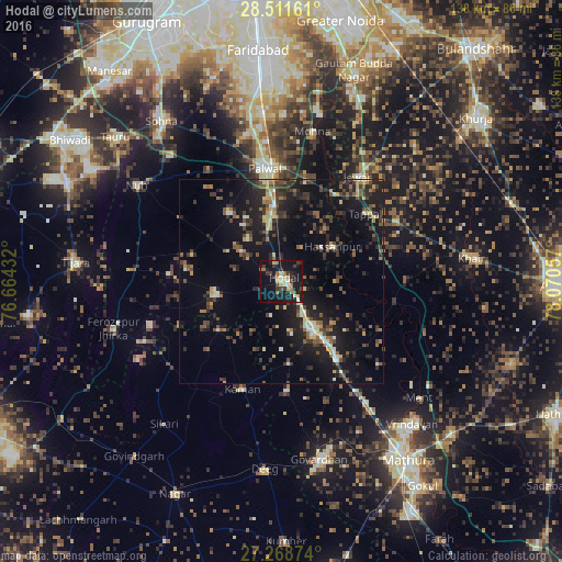
Analysis of Hodal night lights 2016
Square area 10x10 km:
 1.52%
1.52%90-99
2.27%80-89
5.87%70-79
2.27%60-69
4.17%50-59
3.22%40-49
2.46%30-39
8.33%20-29
3.98%10-19
43.56%0-9
22.35%Square area 50x50 km:
0.65%90-99
1.36%80-89
1.87%70-79
1.17%60-69
1.74%50-59
2.33%40-49
3.07%30-39
4.18%20-29
5.3%10-19
15.85%0-9
62.49%Clear (daylight) street map image can be seen on geolist.org.
Map coordinates:
28° 30' 41.8" North, 76° 39' 51.6" East
27° 53' 31.1" North, 77° 22' 2.8" East
27° 16' 7.5" North, 78° 4' 14.1" East
Some cities around Hodal sort by population:
• Palwal
28.4 km =17.6 mi,  351°
351°
• Kosi
12.8 km =8 mi,  147°
147°
• Kāman
27.8 km =17.3 mi,  200°
200°
• Chhāta
23.3 km =14.5 mi,  143°
143°
• Pūnāhāna
16.3 km =10.1 mi,  258°
258°
• Nandgaon
20.2 km =12.6 mi,  174°
174°
• Hasanpur
15.2 km =9.4 mi,  55°
55°
• Barsāna
27.1 km =16.8 mi,  178°
178°
1270000 (p: 44,300)
Sources (retrieved 2019-11-25):
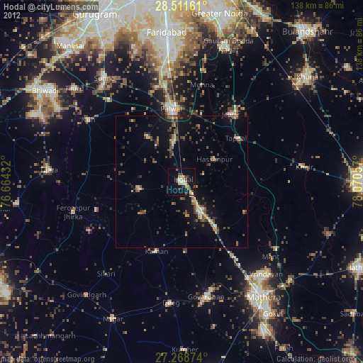
» Earth at Night: Flat Maps 2012, 2016