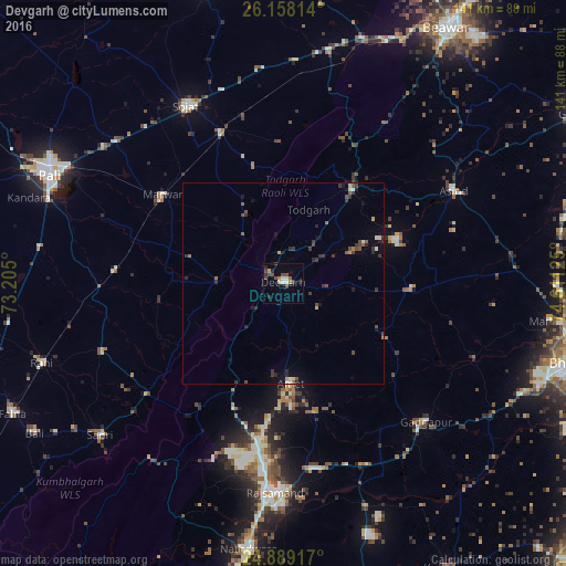
Devgarh night lights from space
Night Light of Devgarh (Rajasthan) from space (India) Src. Average luminocity for 10x10km area is 12.8492% and for 50x50km: 2.2438%.
Analysis of Devgarh night lights 2016
Square area 10x10 km:
 0.79%
0.79%90-99
2.38%80-89
0.4%70-79
1.98%60-69
0.79%50-59
1.59%40-49
5.16%30-39
2.18%20-29
3.37%10-19
1.19%0-9
80.16%Square area 50x50 km:
0.05%90-99
0.33%80-89
0.15%70-79
0.18%60-69
0.17%50-59
0.37%40-49
0.64%30-39
0.79%20-29
0.64%10-19
0.83%0-9
95.86%Clear (daylight) street map image can be seen on geolist.org.
Map coordinates:
26° 9' 29.3" North, 73° 12' 18" East
25° 31' 31.2" North, 73° 54' 29.2" East
24° 53' 21" North, 74° 36' 40.5" East
Some cities around Devgarh sort by population:
• Rājsamand
50.5 km =31.4 mi,  183°
183°
• Sojat
50.6 km =31.4 mi,  331°
331°
• Sādri
59.3 km =36.8 mi,  230°
230°
• Gangāpur
49.1 km =30.5 mi,  133°
133°
• Raipur
58.7 km =36.5 mi,  11°
11°
• Amet
24.4 km =15.2 mi, 175°
• Āsind
48.5 km =30.1 mi,  61°
61°
• Rāni
63.2 km =39.3 mi,  252°
252°
1273098 (p: 17,500)
Sources (retrieved 2019-11-25):
» Earth at Night: Flat Maps 2012, 2016