Ichchāpuram night lights from space
Night Light of Ichchāpuram (Andhra Pradesh) from space (India) Src. Average luminocity for 10x10km area is 9.8442% and for 50x50km: 7.1671%.
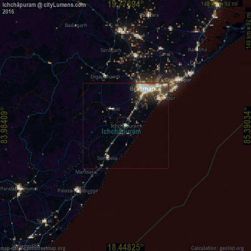
Analysis of Ichchāpuram night lights 2016
Square area 10x10 km:
 0%
0%90-99
0.87%80-89
2.6%70-79
0%60-69
0.43%50-59
2.16%40-49
2.81%30-39
3.25%20-29
3.03%10-19
1.95%0-9
82.9%Square area 50x50 km:
0.82%90-99
1.62%80-89
0.61%70-79
0.55%60-69
0.71%50-59
1.53%40-49
1.46%30-39
1.72%20-29
1.81%10-19
2.71%0-9
86.46%Clear (daylight) street map image can be seen on geolist.org.
Map coordinates:
19° 46' 37" North, 83° 59' 2.7" East
19° 6' 50.1" North, 84° 41' 14" East
18° 26' 53.7" North, 85° 23' 25.2" East
Some cities around Ichchāpuram sort by population:
• Brahmapur
24.6 km =15.3 mi,  26°
26°
• Hinjilikatu
41.3 km =25.7 mi,  8°
8°
• Chatrapur
41.1 km =25.5 mi,  49°
49°
• Sompeta
21.7 km =13.5 mi,  209°
209°
• Digapahandi
31.2 km =19.4 mi,  337°
337°
• Chikitigarh
12.4 km =7.7 mi,  322°
322°
• Mandasa
36.1 km =22.4 mi,  220°
220°
• Gopālpur
28 km =17.4 mi, 54°
1269827 (p: 33,754)
Sources (retrieved 2019-11-25):
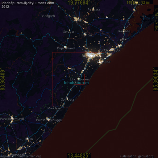
» Earth at Night: Flat Maps 2012, 2016