Pālakollu night lights from space
Night Light of Pālakollu (Andhra Pradesh) from space (India) Src. Average luminocity for 10x10km area is 26.876% and for 50x50km: 15.2469%.
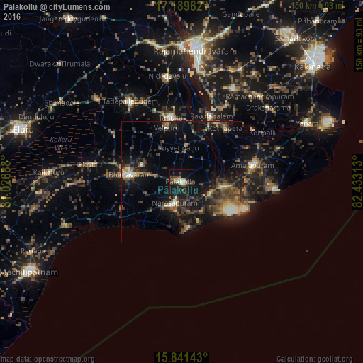
Analysis of Pālakollu night lights 2016
Square area 10x10 km:
 1.03%
1.03%90-99
3.51%80-89
2.89%70-79
3.1%60-69
1.86%50-59
4.13%40-49
7.23%30-39
5.37%20-29
9.92%10-19
39.26%0-9
21.69%Square area 50x50 km:
0.45%90-99
1.95%80-89
1.1%70-79
1.4%60-69
1.79%50-59
2.8%40-49
4.27%30-39
3.85%20-29
5.95%10-19
15.18%0-9
61.25%Clear (daylight) street map image can be seen on geolist.org.
Map coordinates:
17° 11' 22.6" North, 81° 1' 36.8" East
16° 31' 0.1" North, 81° 43' 48" East
15° 50' 29.1" North, 82° 25' 59.3" East
Some cities around Pālakollu sort by population:
• Bhīmavaram
22.2 km =13.8 mi,  276°
276°
• Tanuku
26.9 km =16.7 mi,  348°
348°
• Attili
24.6 km =15.3 mi,  325°
325°
• Narasapur
9.8 km =6.1 mi,  200°
200°
• Amalāpuram
30.2 km =18.8 mi,  76°
76°
• Penugonda
15.3 km =9.5 mi,  6°
6°
• Rāzole
12.5 km =7.8 mi,  111°
111°
• Pippara
29.4 km =18.3 mi,  319°
319°
1260792 (p: 57,341)
Sources (retrieved 2019-11-25):
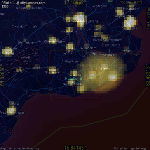
» NASA, Earths city lights 1995
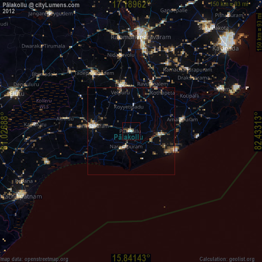
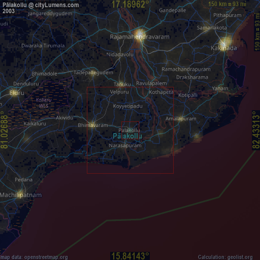
» NASA city lights 2003
» Earth at Night: Flat Maps 2012, 2016