Ooty night lights from space
Night Light of Ooty (Tamil Nadu) from space (India) Src. Average luminocity for 10x10km area is 28.7532% and for 50x50km: 4.9037%.
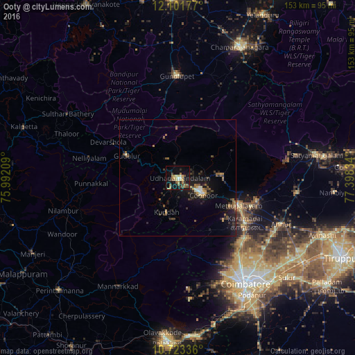
Analysis of Ooty night lights 2016
Square area 10x10 km:
 1.3%
1.3%90-99
2.6%80-89
6.49%70-79
3.68%60-69
6.93%50-59
4.98%40-49
4.33%30-39
2.16%20-29
3.25%10-19
31.39%0-9
32.9%Square area 50x50 km:
0.21%90-99
0.42%80-89
0.48%70-79
0.6%60-69
0.71%50-59
0.95%40-49
0.88%30-39
0.91%20-29
1.39%10-19
5.4%0-9
88.06%Clear (daylight) street map image can be seen on geolist.org.
Map coordinates:
12° 6' 6.4" North, 75° 59' 31.5" East
11° 24' 48.2" North, 76° 41' 42.8" East
10° 43' 24.1" North, 77° 23' 54" East
Some cities around Ooty sort by population:
• Mettupalayam
29 km =18 mi,  115°
115°
• Kāramadai
34.7 km =21.6 mi, 123°
• Kotagiri
18 km =11.2 mi,  87°
87°
• Wellington
11.1 km =6.9 mi, 118°
• Sirumugai
35.3 km =21.9 mi,  106°
106°
• Naduvattam
18.1 km =11.2 mi,  294°
294°
• Masinigudi
18.2 km =11.3 mi,  341°
341°
• Aruvankad
8.8 km =5.5 mi,  129°
129°
1253993 (p: 98,238)
Sources (retrieved 2019-11-25):
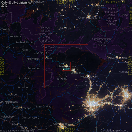
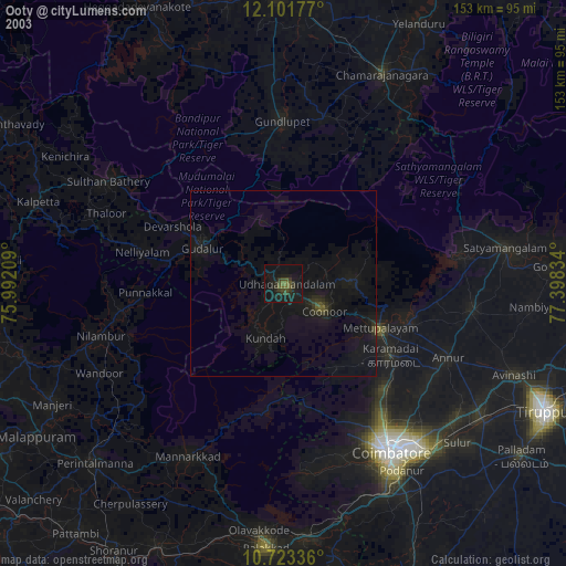
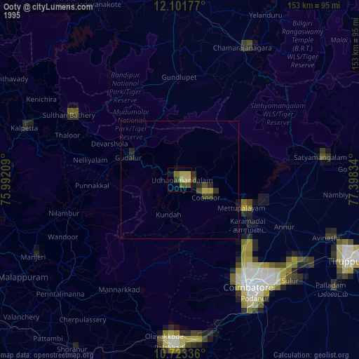
» NASA, Earths city lights 1995
» NASA city lights 2003
» Earth at Night: Flat Maps 2012, 2016