Kotagiri night lights from space
Night Light of Kotagiri (Tamil Nadu) from space (India) Src. Average luminocity for 10x10km area is 8.5325% and for 50x50km: 8.1351%.
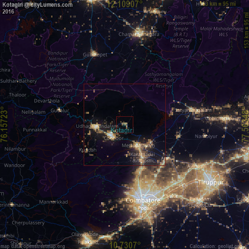
Analysis of Kotagiri night lights 2016
Square area 10x10 km:
 0%
0%90-99
0%80-89
0%70-79
1.3%60-69
1.95%50-59
3.9%40-49
1.08%30-39
1.3%20-29
2.38%10-19
4.11%0-9
83.98%Square area 50x50 km:
0.23%90-99
0.62%80-89
0.88%70-79
1.09%60-69
1.27%50-59
1.73%40-49
1.72%30-39
1.78%20-29
2.61%10-19
8.56%0-9
79.52%Clear (daylight) street map image can be seen on geolist.org.
Map coordinates:
12° 6' 32.7" North, 76° 9' 26" East
11° 25' 14.6" North, 76° 51' 37.3" East
10° 43' 50.5" North, 77° 33' 48.5" East
Some cities around Kotagiri sort by population:
• Ooty
18 km =11.2 mi,  267°
267°
• Mettupalayam
15.7 km =9.8 mi,  148°
148°
• Kāramadai
22.8 km =14.2 mi, 151°
• Periyanayakkanpalaiyam
31.4 km =19.5 mi,  161°
161°
• Wellington
10.3 km =6.4 mi,  233°
233°
• Sirumugai
19.3 km =12 mi,  124°
124°
• Masinigudi
29 km =18 mi,  304°
304°
• Aruvankad
12.9 km =8 mi,  240°
240°
1266038 (p: 28,848)
Sources (retrieved 2019-11-25):
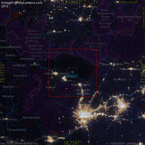
» Earth at Night: Flat Maps 2012, 2016