Sirumugai night lights from space
Night Light of Sirumugai (Tamil Nadu) from space (India) Src. Average luminocity for 10x10km area is 21.5714% and for 50x50km: 16.7031%.
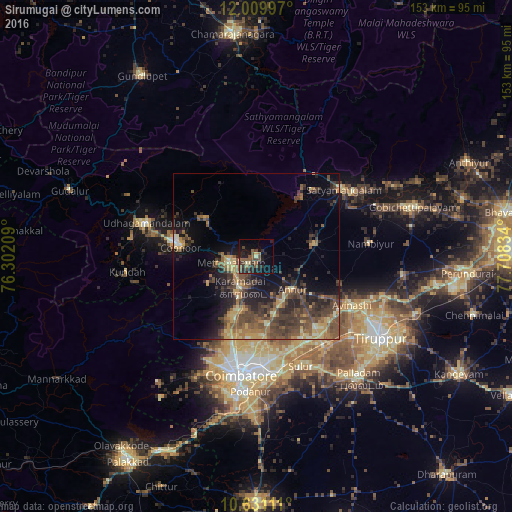
Analysis of Sirumugai night lights 2016
Square area 10x10 km:
 0%
0%90-99
0.87%80-89
2.38%70-79
0.22%60-69
1.95%50-59
9.74%40-49
8.23%30-39
3.68%20-29
11.69%10-19
16.67%0-9
44.59%Square area 50x50 km:
0.2%90-99
1.07%80-89
1.93%70-79
2.69%60-69
2.93%50-59
4.35%40-49
5.58%30-39
5.04%20-29
5.11%10-19
8.67%0-9
62.43%Clear (daylight) street map image can be seen on geolist.org.
Map coordinates:
12° 0' 35.9" North, 76° 18' 7.5" East
11° 19' 16.9" North, 77° 0' 18.8" East
10° 37' 52" North, 77° 42' 30" East
Some cities around Sirumugai sort by population:
• Mettupalayam
8 km =5 mi,  252°
252°
• Kāramadai
10.2 km =6.3 mi,  208°
208°
• Kotagiri
19.3 km =12 mi,  304°
304°
• Periyanayakkanpalaiyam
19.7 km =12.2 mi,  197°
197°
• Wellington
24.6 km =15.3 mi,  281°
281°
• Annur
14.4 km =8.9 mi,  131°
131°
• Punjai Puliyampatti
17.9 km =11.1 mi,  79°
79°
• Aruvankad
27.4 km =17 mi, 279°
1256027 (p: 20,066)
Sources (retrieved 2019-11-25):
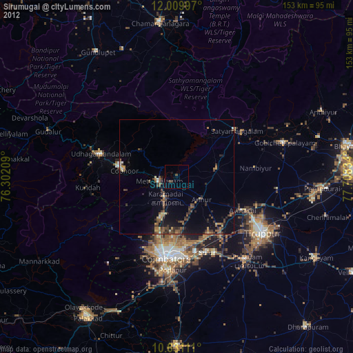
» Earth at Night: Flat Maps 2012, 2016