Nedumangād night lights from space
Night Light of Nedumangād (Kerala) from space (India) Src. Average luminocity for 10x10km area is 18.9483% and for 50x50km: 12.9978%.
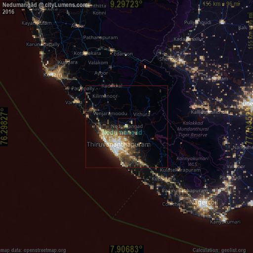
Analysis of Nedumangād night lights 2016
Square area 10x10 km:
 0.41%
0.41%90-99
1.45%80-89
1.45%70-79
0.83%60-69
1.86%50-59
3.93%40-49
5.58%30-39
6.4%20-29
13.22%10-19
16.32%0-9
48.55%Square area 50x50 km:
1.17%90-99
2.03%80-89
1.65%70-79
1.76%60-69
1.88%50-59
1.65%40-49
3.19%30-39
3.06%20-29
4.19%10-19
6.42%0-9
73.01%Clear (daylight) street map image can be seen on geolist.org.
Map coordinates:
9° 17' 50" North, 76° 17' 53.8" East
8° 36' 9.6" North, 77° 0' 5" East
7° 54' 24.6" North, 77° 42' 16.3" East
Some cities around Nedumangād sort by population:
• Thiruvananthapuram
14.2 km =8.8 mi,  203°
203°
• Neyyāttinkara
24.5 km =15.2 mi,  157°
157°
• Varkala
34.5 km =21.4 mi,  294°
294°
• Vettūr
32.9 km =20.4 mi, 292°
• Attingal
23 km =14.3 mi,  296°
296°
• Kadakkavoor
27.1 km =16.8 mi, 288°
• Kuzhithurai
38 km =23.6 mi,  146°
146°
• Kovalam
26.2 km =16.3 mi,  181°
181°
1261553 (p: 58,278)
Sources (retrieved 2019-11-25):
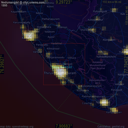
» NASA, Earths city lights 1995
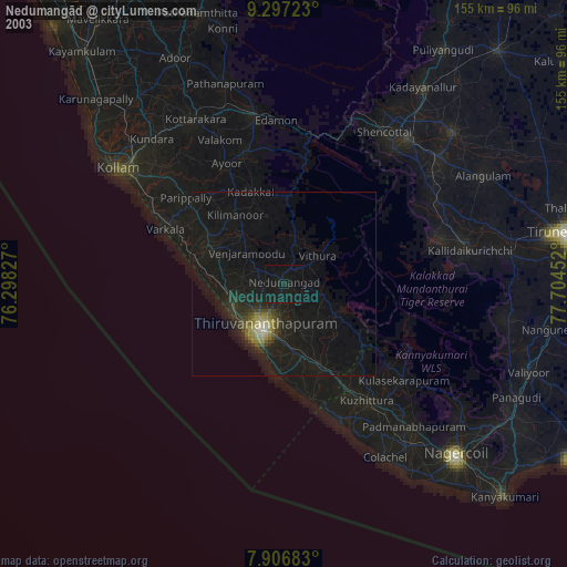
» NASA city lights 2003
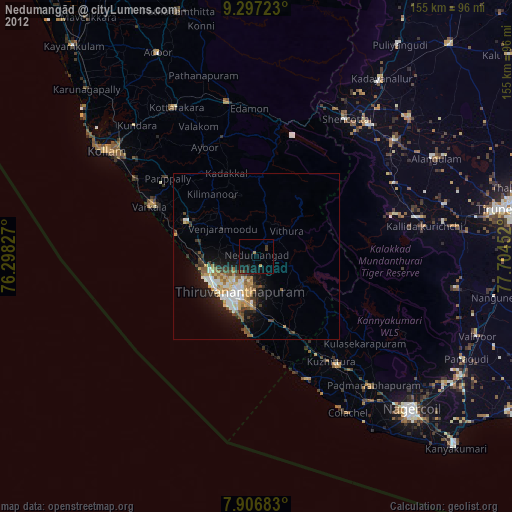
» Earth at Night: Flat Maps 2012, 2016