Vettūr night lights from space
Night Light of Vettūr (Kerala) from space (India) Src. Average luminocity for 10x10km area is 10.0455% and for 50x50km: 8.5708%.
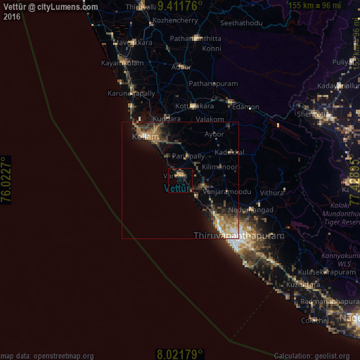
Analysis of Vettūr night lights 2016
Square area 10x10 km:
 0%
0%90-99
0%80-89
1.45%70-79
2.89%60-69
2.27%50-59
1.65%40-49
0.83%30-39
3.72%20-29
1.45%10-19
1.45%0-9
84.3%Square area 50x50 km:
0.44%90-99
0.8%80-89
0.98%70-79
1.42%60-69
1.87%50-59
1.12%40-49
1.82%30-39
2.36%20-29
2.62%10-19
4.65%0-9
81.93%Clear (daylight) street map image can be seen on geolist.org.
Map coordinates:
9° 24' 42.3" North, 76° 1' 21.7" East
8° 43' 2.7" North, 76° 43' 33" East
8° 1' 18.4" North, 77° 25' 44.2" East
Some cities around Vettūr sort by population:
• Thiruvananthapuram
35.6 km =22.1 mi,  136°
136°
• Kollam
23.9 km =14.9 mi,  319°
319°
• Nedumangād
32.9 km =20.4 mi,  112°
112°
• Varkala
2 km =1.2 mi,  330°
330°
• Paravūr Tekkumbhāgam
10.7 km =6.6 mi, 323°
• Attingal
10.1 km =6.3 mi,  103°
103°
• Ponmana
39.4 km =24.5 mi, 325°
• Kadakkavoor
6.2 km =3.9 mi,  133°
133°
1253216 (p: 37,219)
Sources (retrieved 2019-11-25):
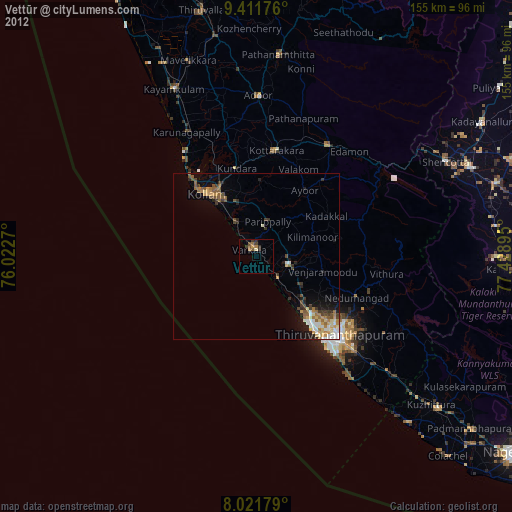
» Earth at Night: Flat Maps 2012, 2016